


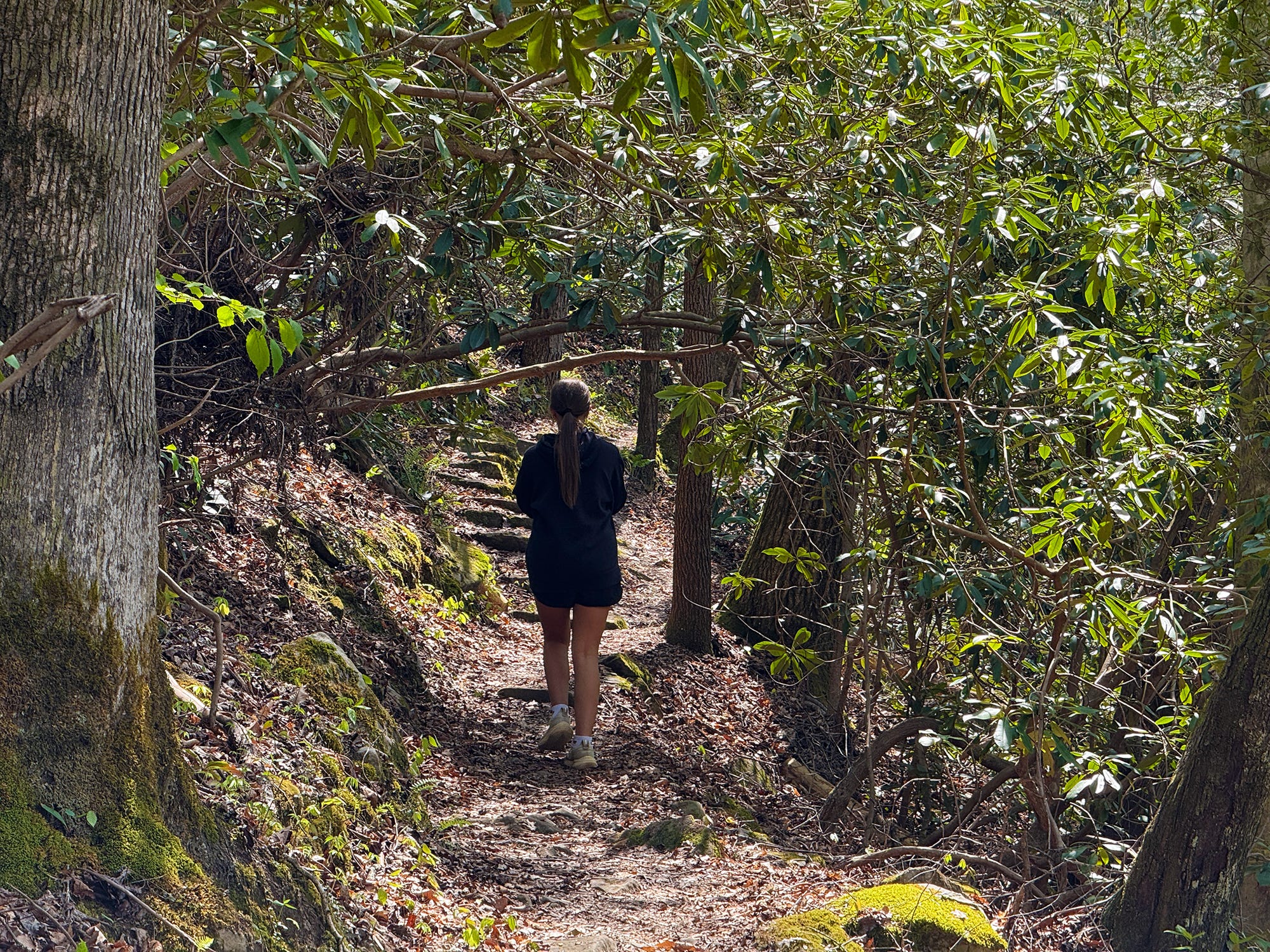
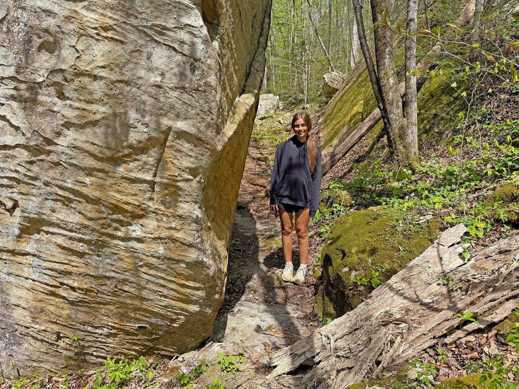
The #SpringHikingChallenge keeps getting better with each hike, and this week’s hike to O&W Bridge may be the best one yet.
The O&W Bridge Trail — which is part of the John Muir Trail — may be one of the most underrated trails in the Big South Fork National River & Recreation Area. And this — the spring, when the wildflowers are in bloom and the green-up is underway but before the summer heat sets in — is the best time of year to hike it.
It earns a “moderate” difficulty rating, but the only part that’s remotely difficult is a short uphill climb about nine-tenths of a mile into the hike. And that climb isn’t as difficult as the staircase on the Yahoo Falls Loop! Otherwise, this one earns a moderate rating simply because it’s a little longer than the first three hikes, checking in at 4.73 miles. But give yourself ample time and enjoy this one, because there is lots to see along the way.
O&W Bridge Trail
Trailhead: Leatherwood Ford
Trail Type: Out-and-back
Payoff: River Views, Wildflowers
Length: 4.74 miles
Elevation Gain: 260 ft.
Difficulty: Moderate
The trail begins and ends at Leatherwood Ford Trailhead off S.R. 297 (Leatherwood Road), same as the Angel Falls hike two weeks ago. This one, though, departs from the opposite end of the parking lot, near the gazebo and restroom facilities. The trail passes the gazebo and goes under the highway bridge to enter the forest.
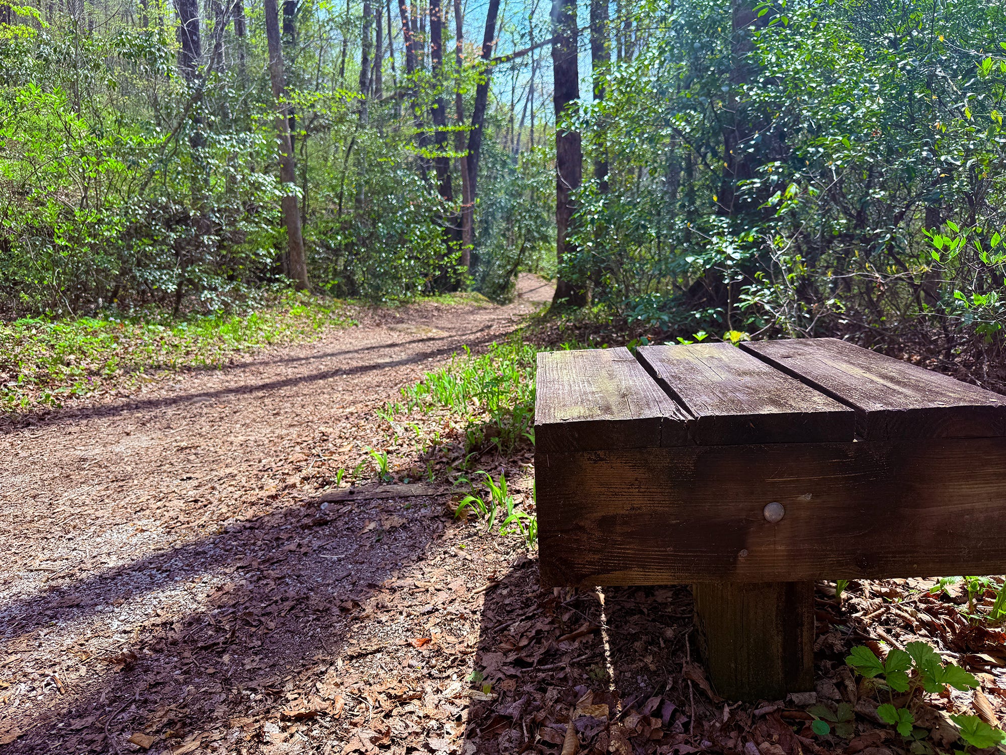
130 ft.: The trail goes under the Leatherwood Road bridge that crosses the river. The bridge was constructed in the early 1980s, when Leatherwood Road was improved into a state highway, and replaced the “low water bridge” that remains but is rapidly deteriorating. The trail is nice and flat, wide and graveled, to start the hike, with benches for resting for the first quarter of a mile.
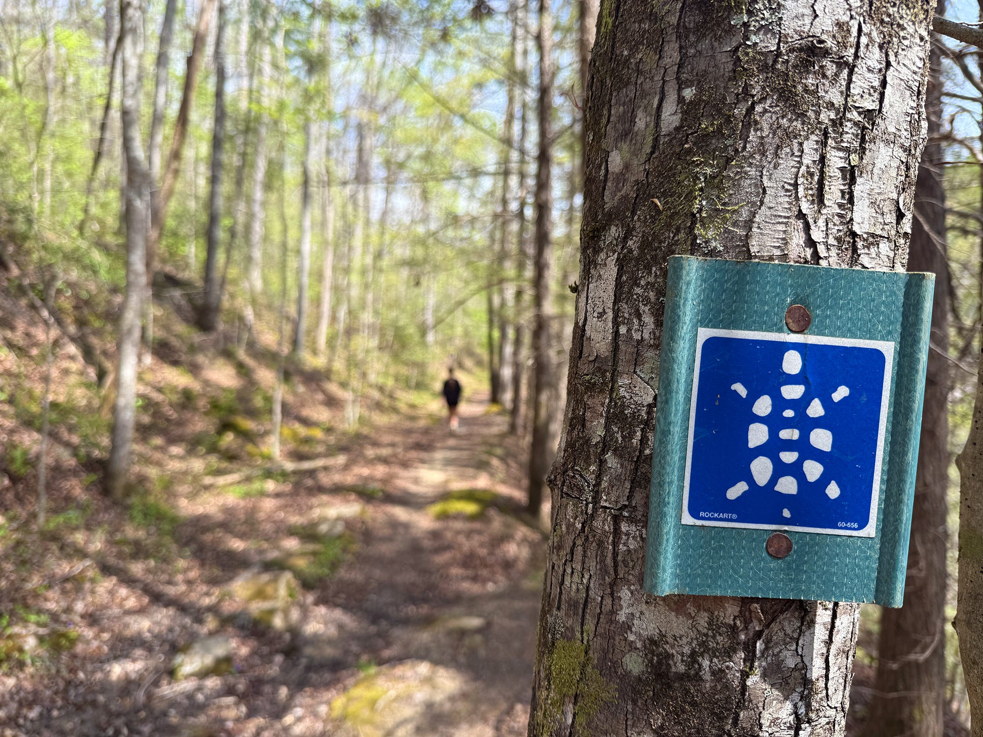
425 ft.: The trail crosses a wooden footbridge. As you travel, watch for blue blazes marked with a white turtle. That’s because this trail is also part of the Sheltowee Trace National Recreation Trail, which extends from near Morehead, Ky., in the Daniel Boone National Forest, to Honey Creek Trailhead in the Big South Fork NRRA. Currently, another extension is underway that will take the trail all the way to Historic Rugby. Plans are for it to eventually tie into the Cumberland Trail at Frozen Head State Park. “Sheltowee” was the nickname the Cherokee gave to Daniel Boone, and it means “slow turtle.”
550 ft.: A backcountry campsite can be seen on the right side of the trail, near the river. There are several of these backcountry campsites along the route. Backcountry camping is permitted anywhere within the Big South Fork, except under rock shelters, in parking lots, and select other areas. A permit is required, which can be purchased from the National Park Service.
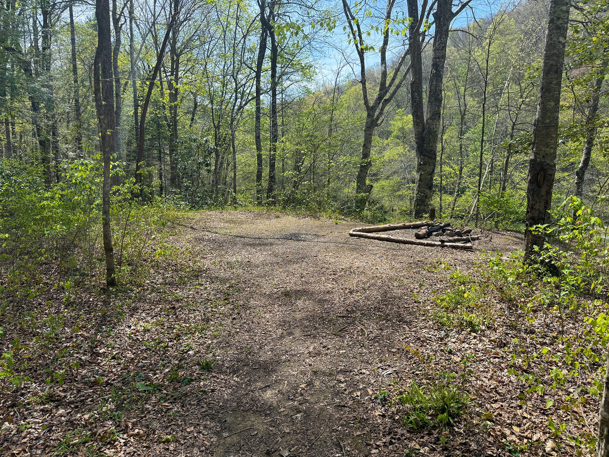
0.15 Mile: There’s another, larger campsite along the right side of the trail.
0.21 Mile: Yet another campsite.
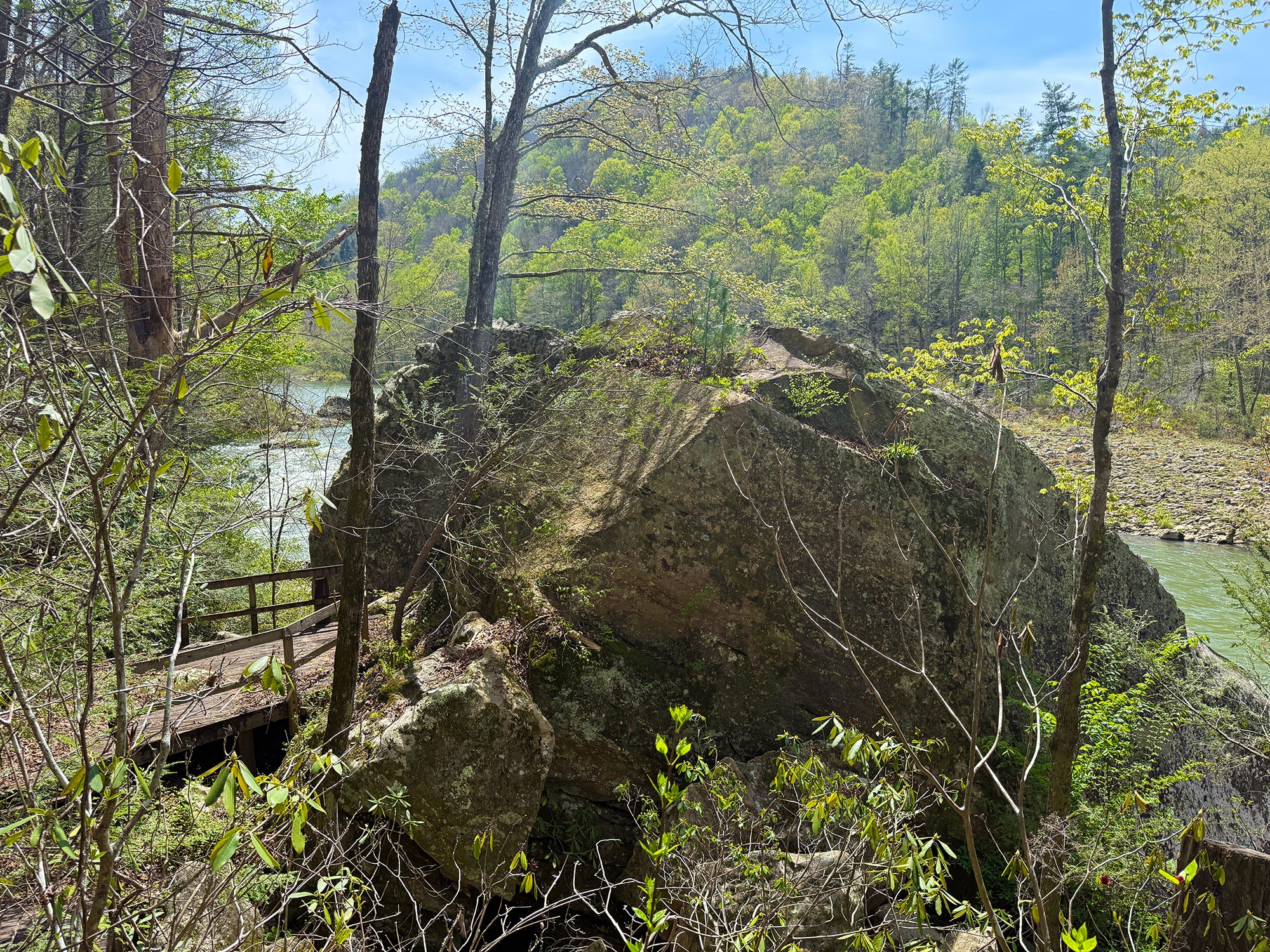
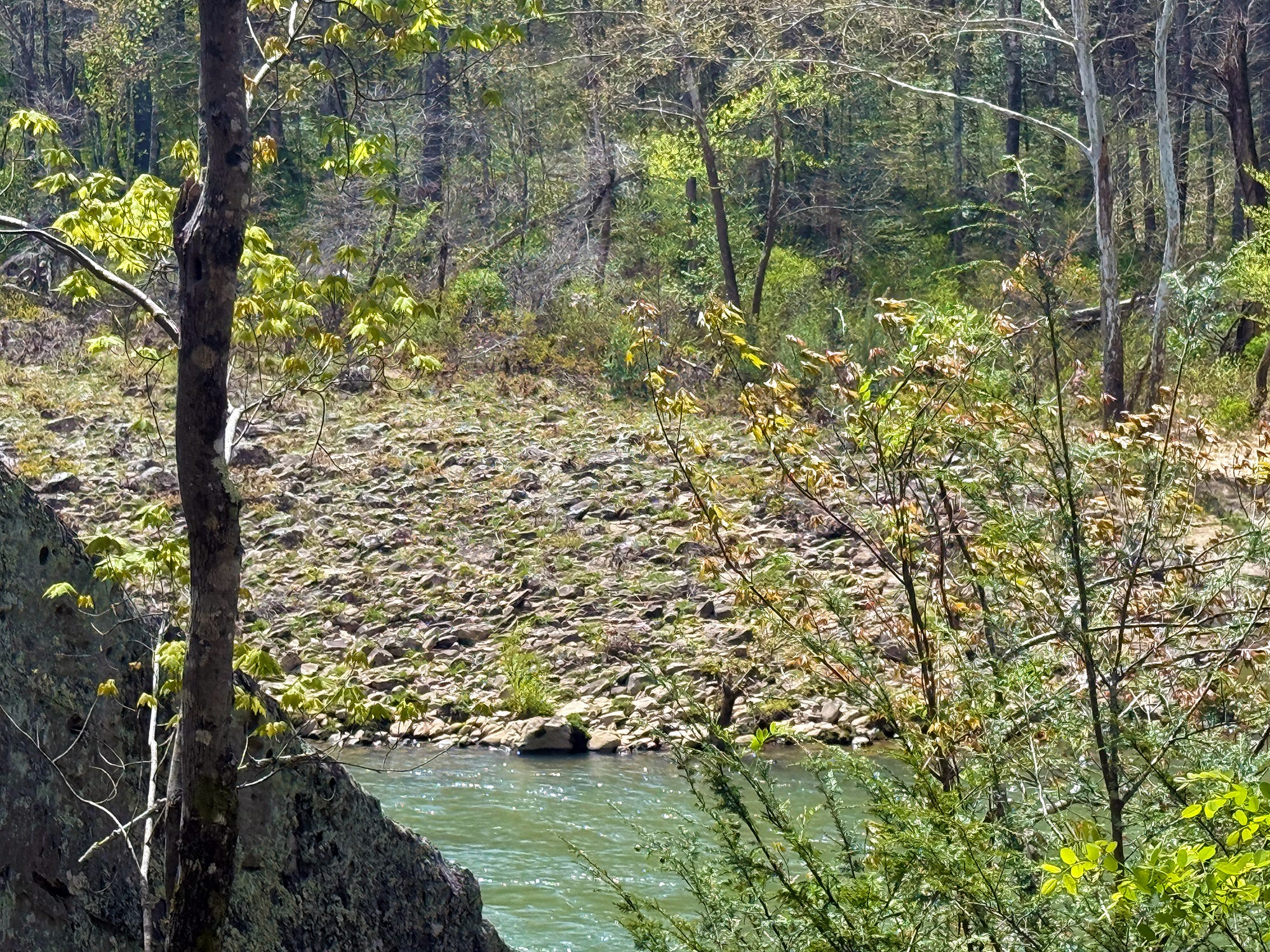
0.25 Mile: The wooden observation deck on the right is for Echo Rock, the large sandstone boulder along the river that reflects the sound of the water crashing through the rapids. There is a lower observation deck, where the echo can best be heard, but it was closed after a portion of the boulder broke off and smashed onto the platform. On the opposite side of the river is the mouth of Bandy Creek, which lends its namesake to the developed park facilities near its headwaters, including the visitor center and campground. Also visible here is one of the best examples of a Big South Fork cobble bar, the ecologically-rich river scour prairies that can be found along much of the BSF. These flood-washed areas of bedrock and cobble are among fewer than 500 acres of cobble bar habitat remaining in the world today. Flooding rains scour the prairies from most plants, and only the native plants that are naturally engineered to withstand those floods remain. They’re bare to start the spring season, but are teeming with plant, insect, and aquatic animal life by the summer.
0.28 Mile: The last of the wooden benches along the trail, and the gravel surface ends.
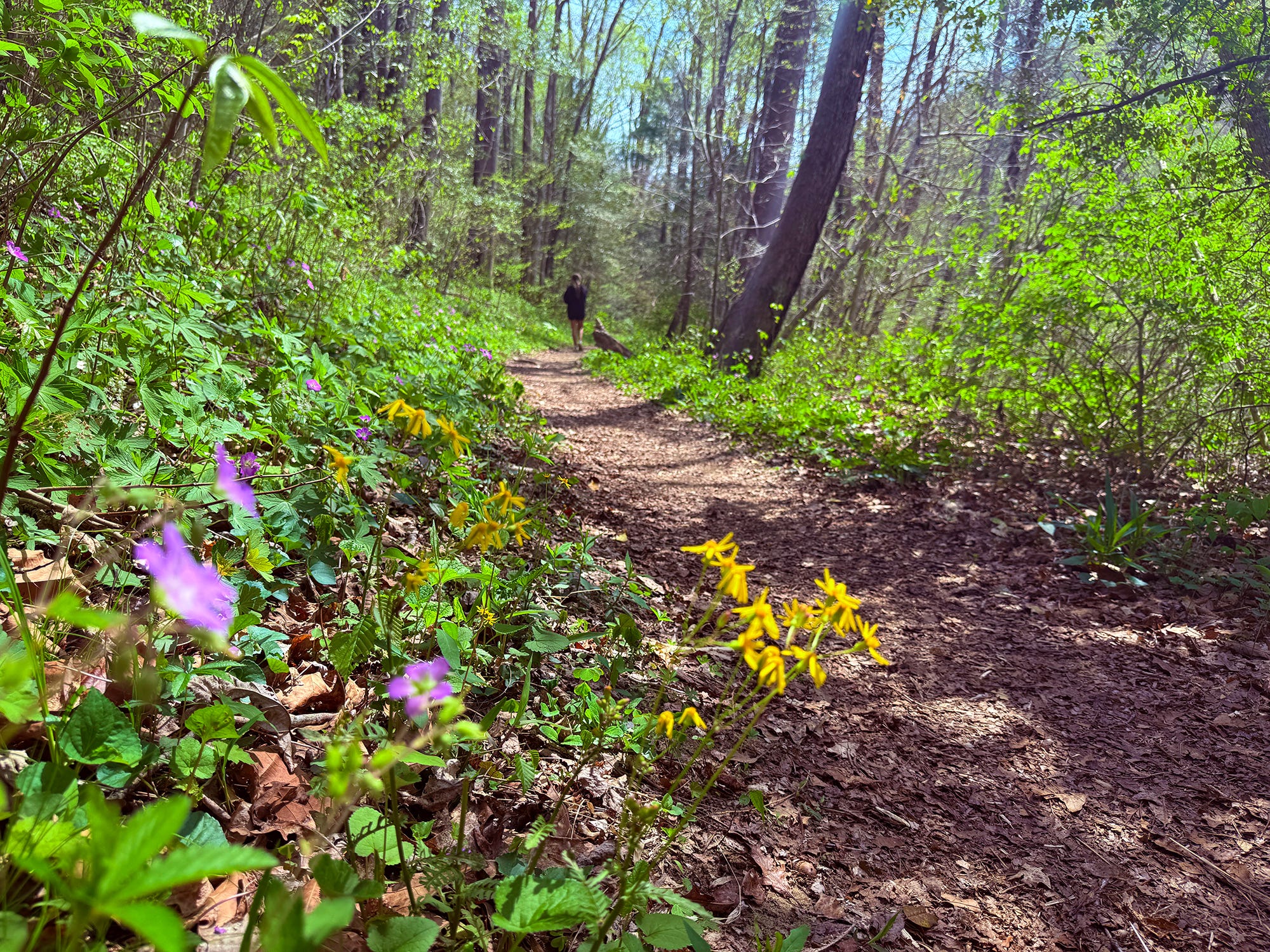
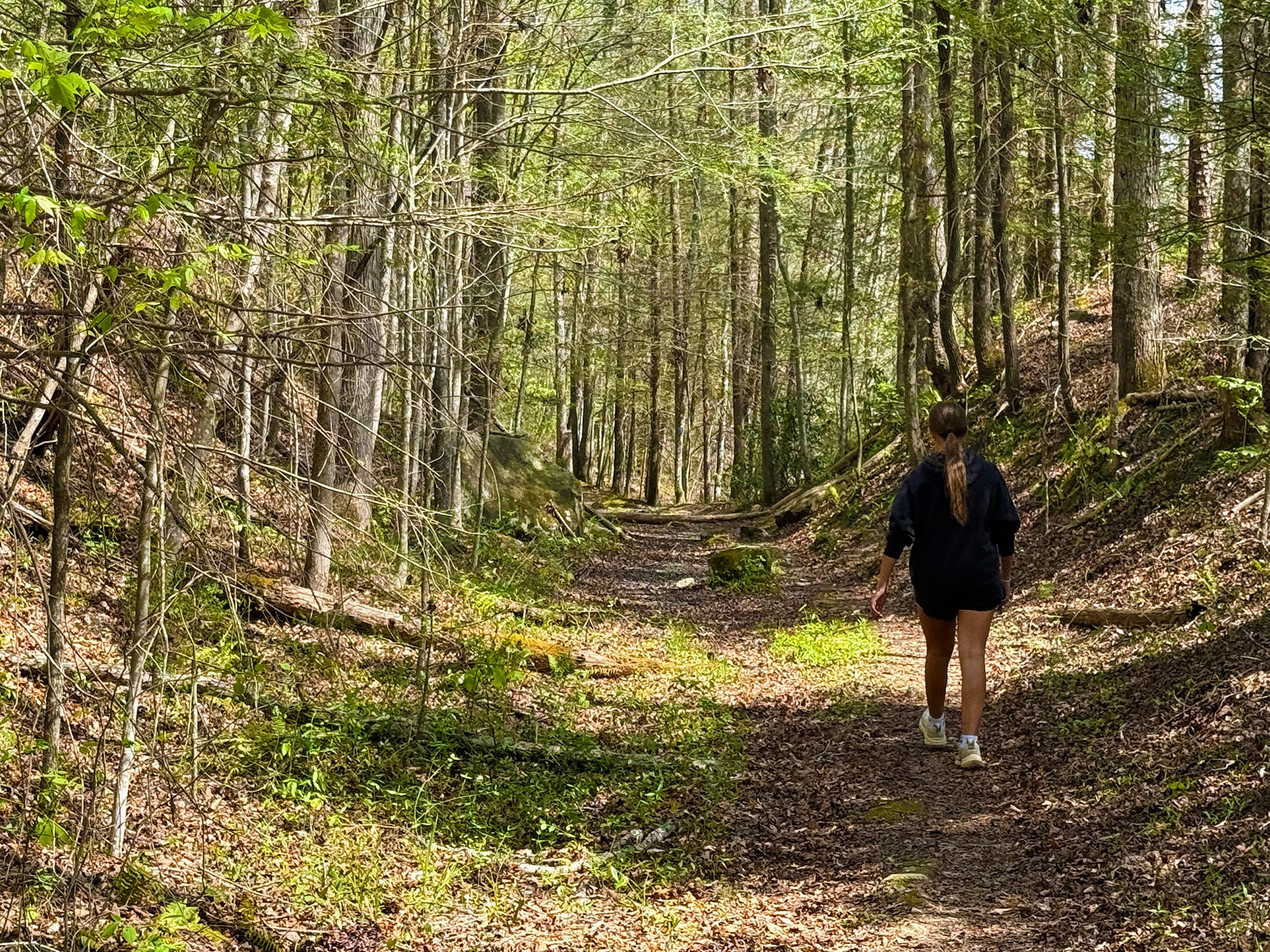
0.35 Mile: Note the changing forest type. The trail started through open hardwood forest that included a mix of maple, oak, beech, and other trees. Now it’s traveling through a typical stream side forest of hemlock and an understory of rhododendron.
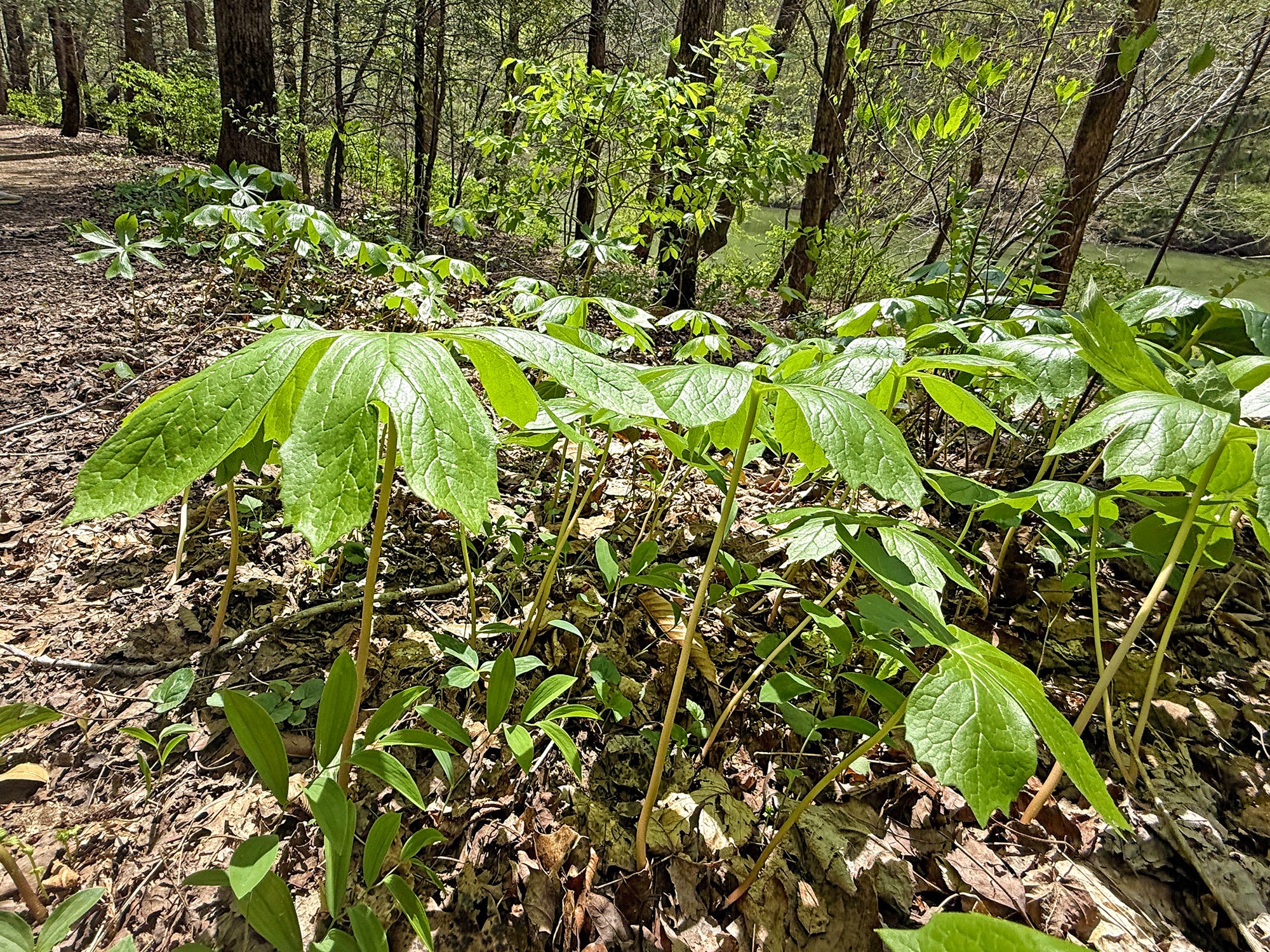
0.45 Mile: A stand of mayapple can be seen along the trail. Podophyllum peltatum, also referred to as American mandrake or even ground lemon, grows prolifically in the Big South Fork NRRA. Colonies usually grow from a single root. The plant emerges in early April and flowers in May. The fruit ripens later in summer (human consumption is not advised, although the ripened yellow fruit is edible in small amounts and is sometimes used to make jelly).
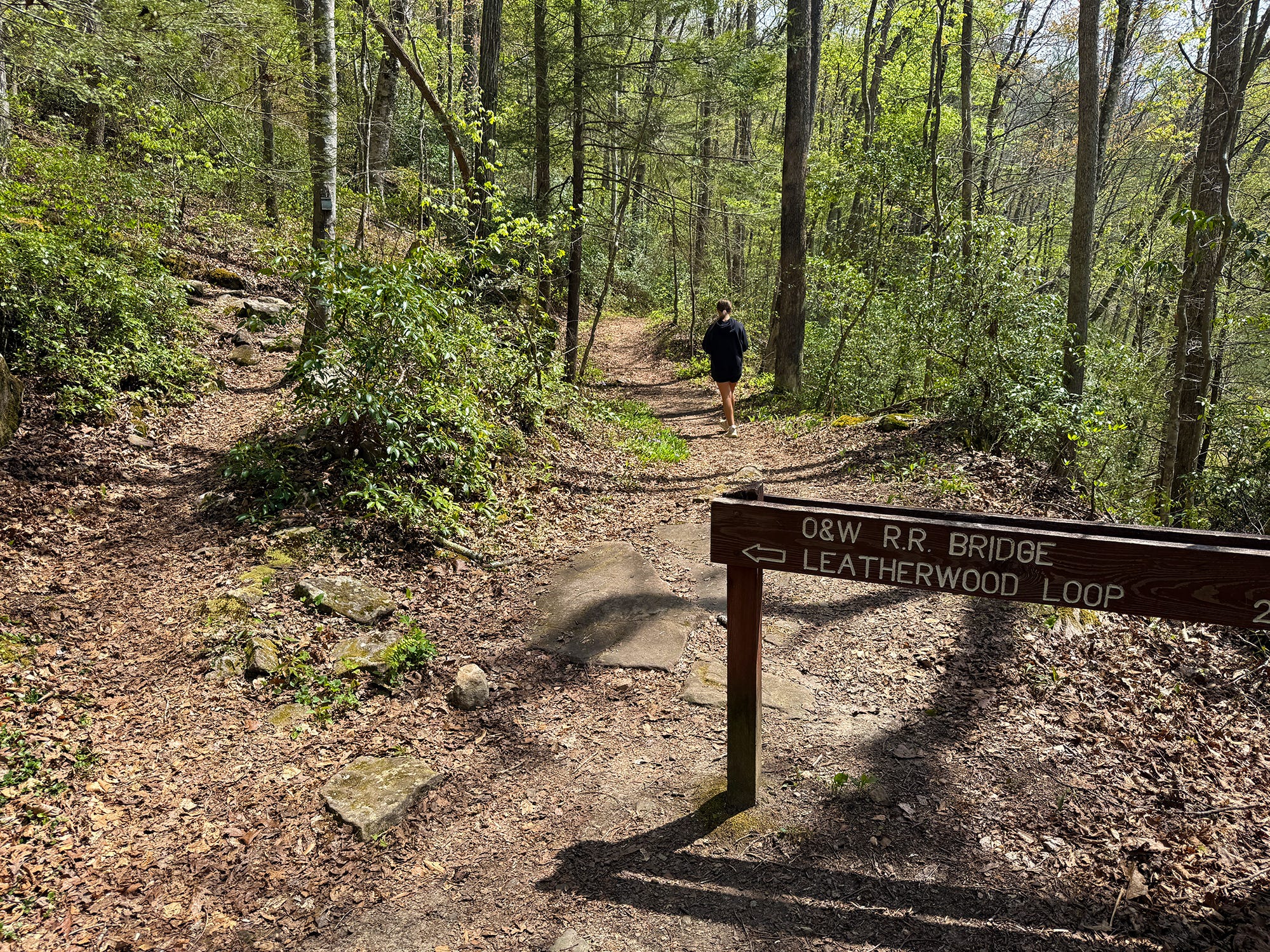
0.53 Mile: The Leatherwood Loop Trail departs. From here, it climbs the gorge to Leatherwood Overlook, traverses naturally reclaimed farmland for a distance, then descends back into the gorge, arriving at Leatherwood Ford.
0.83 Mile: The trail dips to a steam crossing. Like the other stream crossings along this route, this is a wet-weather stream, and it’s bone-dry during this unusually dry spring.
0.86 Mile: The trail begins its only real stretch of ascent, and will work through a pair of switchbacks as it climbs away from the river’s edge. The reason for the climb is the bluff line closes in on the river here at a set of shoals, necessitating a climb to higher ground.
0.93 Mile: The trail levels out. The worst of the climb is over, though there’ll be a gentle uphill slope for a while longer.
1.21 Mile: The valley that can be seen across the river is the mouth of North White Oak Creek, which drains much of the area south of S.R. 297 west of the river, in both Scott and Fentress counties. It was here that the O&W Railroad turned away from the river and began its journey into Fentress County toward the mining camps at Zenith and elsewhere.
1.26 Mile: The trail emerges on an old roadbed. From here, it’s mostly a flat or gentle downhill grade to the bridge.
1.63 Mile: Notice the effort that went into digging a flat grade into the rocky earth along this stretch of trail. This was part of a planned early-1900s railroad spur from the O&W to Anderson Branch south of Leatherwood Ford, intended to aid with coal-mining efforts there. A mile or so of the railroad grade was finished before the plans were abandoned.
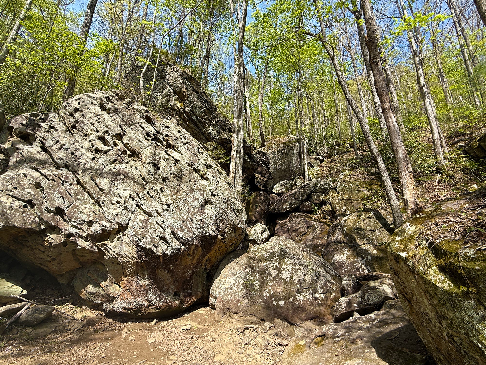
2.10 Mile: The jumble of rocks on the left side of the trail is home to one of the Big South Fork NRRA’s more unique waterfalls during periods of wet weather. Unfortunately, it’s currently dry to the eye, though if you listen you’ll hear some water gurgling deep in the rocks.
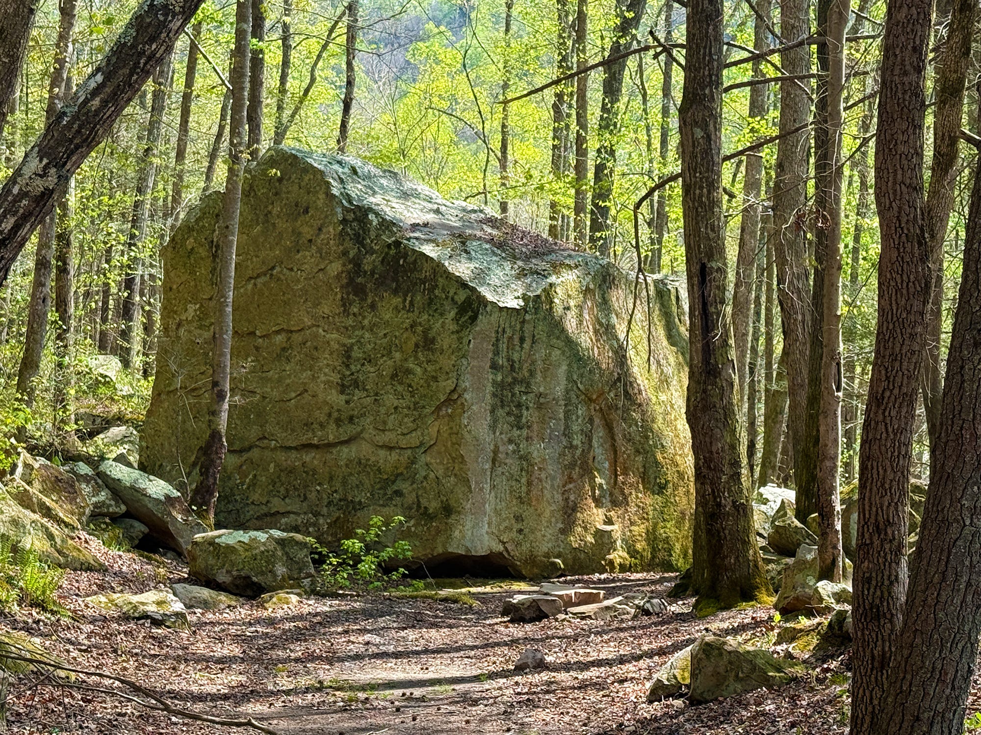
2.24 Mile: Notice the huge boulder ahead. This giant rock, the size of a small house, broke free from the caprock some 500 feet above and rolled into the rail grade that was being constructed in the early 1900s. Supposedly, that convinced the railroad’s owners to abandon plans to build a rail spur to Anderson Branch. The rock still sits in the old rail grade, more than 100 years later.


2.30 Mile: Arrive at O&W Bridge. Venture out onto the bridge to see the towering O&W Wall, the huge cliff that stands sentry over the bridge. There’s a staircase leading to the river’s edge, and a sandy beach area that invites exploring and even wading in the river as a way to cool off before beginning the journey back to Leatherwood.
Scavenger Hunt: This week’s virtual scavenger hunt is for a “hidden passage” of sorts. It’s an unmarked trail segment that briefly leads away from the main trail to provide an alternative way around a huge boulder. Look for the huge rock alongside the trail. (Hint: It’s closer to the Leatherwood end of the trail than the O&W Bridge end of the trail.) Snap a picture of this hidden passage emerging from behind the gigantic boulder to be entered into this week’s drawing for a gift card to RaeZack’s.
Historical Context: The O&W Bridge is the oldest bridge in Scott County. The steel was forged in the late 1800s, and it was originally used elsewhere before being disassembled and moved to the Big South Fork as the Oneida & Western Railroad was being built in 1914. It’s one of the few remaining Whipple through truss bridges still in use in the United States. The O&W Railroad was built to link Oneida to Jamestown, providing passenger transport and a means of hauling coal and timber out of the vast expanse of wilderness area between the two towns. The O&W Railroad was built by the Hagemeyer brothers who owned a lumber mill at Glenmary and in 1906 transformed it into a hardwood flooring mill. They had originally proposed a railroad from Glenmary to Jamestown before selling out and purchasing another lumber mill at Verdun. Their railroad proposal met stiff resistance from the Stearns Coal & Lumber Company, and resulted in a lawsuit. Stearns said the O&W lacked a proper charter. A judge agreed, but also ruled that the very court action had created a legal entity of the O&W — paving the way for the railroad to begin being built. Steam locomotives thundered down Pine Creek, across the river, and up North White Oak Creek for decades before the coal and timber played out and the railroad was abandoned in the 1950s.
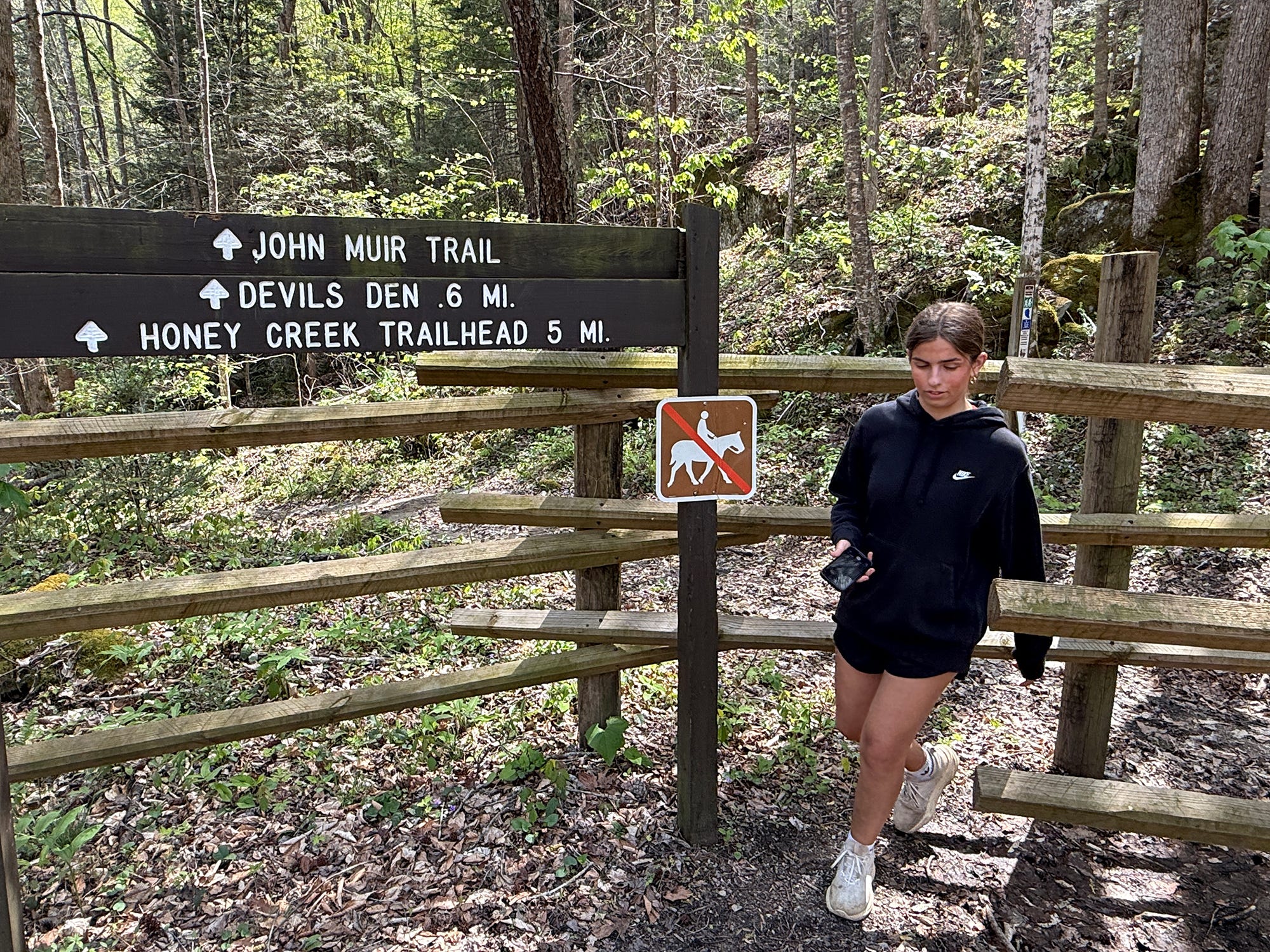
Make It Better: Don’t stop at O&W Bridge! Make the climb on up to Devils Den and the Jake Hole Overlook. It’s a strenuous climb — six-tenths of a mile to Devils Den and a bit further to the overlook — but well worth the effort. The trail departs on the west side of O&W Bridge.
Be Careful For: There are no serious hazards along the trail, though some creek crossings require rock-hopping, which could trip up small children. Overall, this is a kid- and pet-friendly hike. If you choose to continue up to the Jake Hole Overlook, note that it is an unprotected overlook.
Please Remember: Hikers are encouraged to obey the “Leave No Trace” ethic. “Leave only footprints, take only memories.” Please do not litter! Also, remember that while all trails in the Big South Fork are dog-friendly, all dogs must be leashed and kept within six feet.
Document Your Hike: Record your participation on this week’s hike by taking a photo of you and your group and tagging it with the #SpringHikingChallenge hashtag on social media (make sure the post privacy is set to public!) or emailing newsroom@ihoneida.com.