

Week #6: Burnt Mill Loop
The 4.2-mile Burnt Mill Loop Trail is spectacular, and one of the most underrated hiking trails in the Big South Fork National River & Recreation Area.

Week 6 of the Spring Hiking Challenge takes us to one of the most underrated hiking trails in the entirety of the Big South Fork National River & Recreation Area: Burnt Mill Loop.
Most folks recognize Honey Creek, which borders Burnt Mill to the west, as not only the best hiking trail in the Big South Fork, but one of the best day hikes anywhere in the eastern U.S. Burnt Mill, by comparison, is often overlooked. But this trail offers many of the same features as Honey Creek, albeit on a smaller scale. That’s not necessarily a bad thing. The strenuousness of Honey Creek discourages some people from attempting it, but Burnt Mill is a relatively easy hike. It earns a “moderate” difficulty rating due to its uneven terrain, its length, and its elevation gain, but it’s a pretty mild hike in terms of its difficulty.
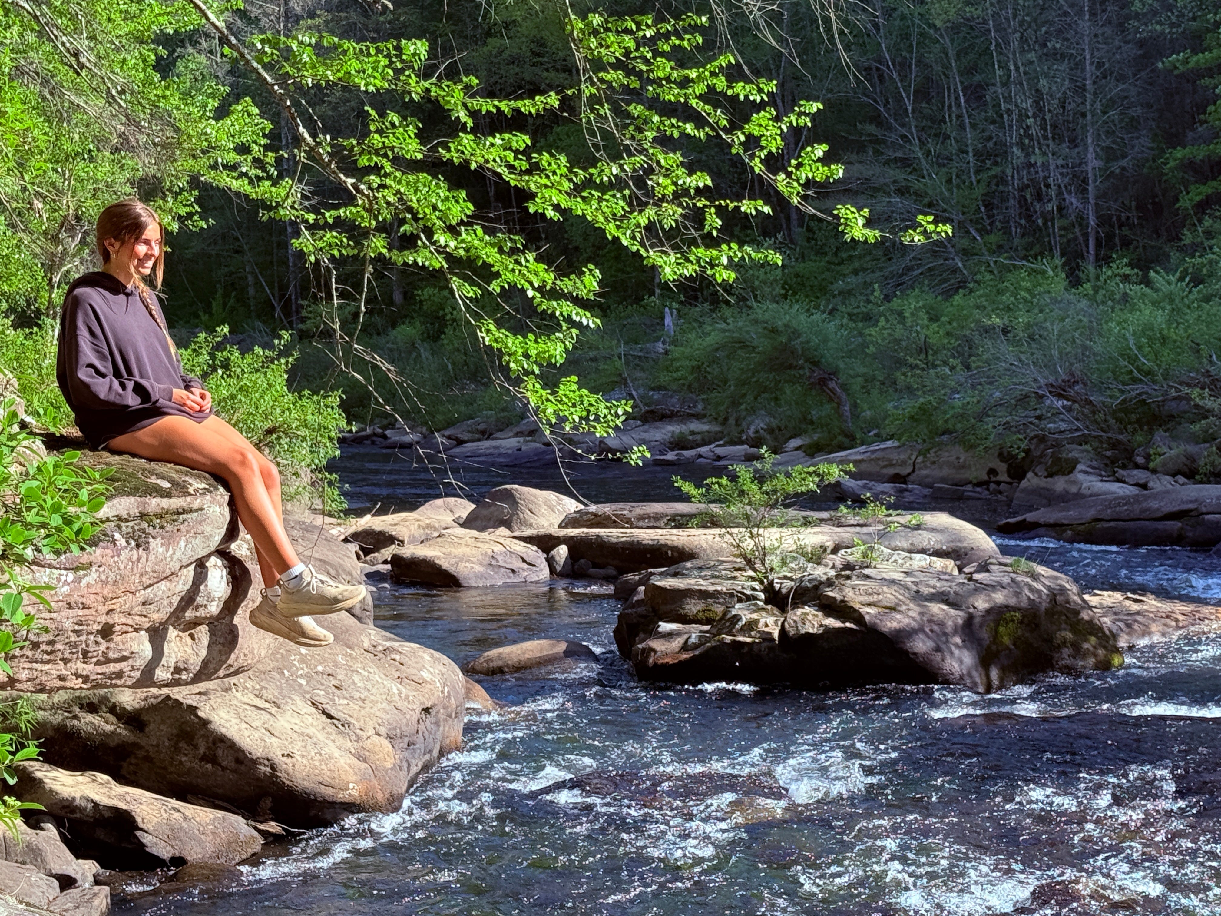
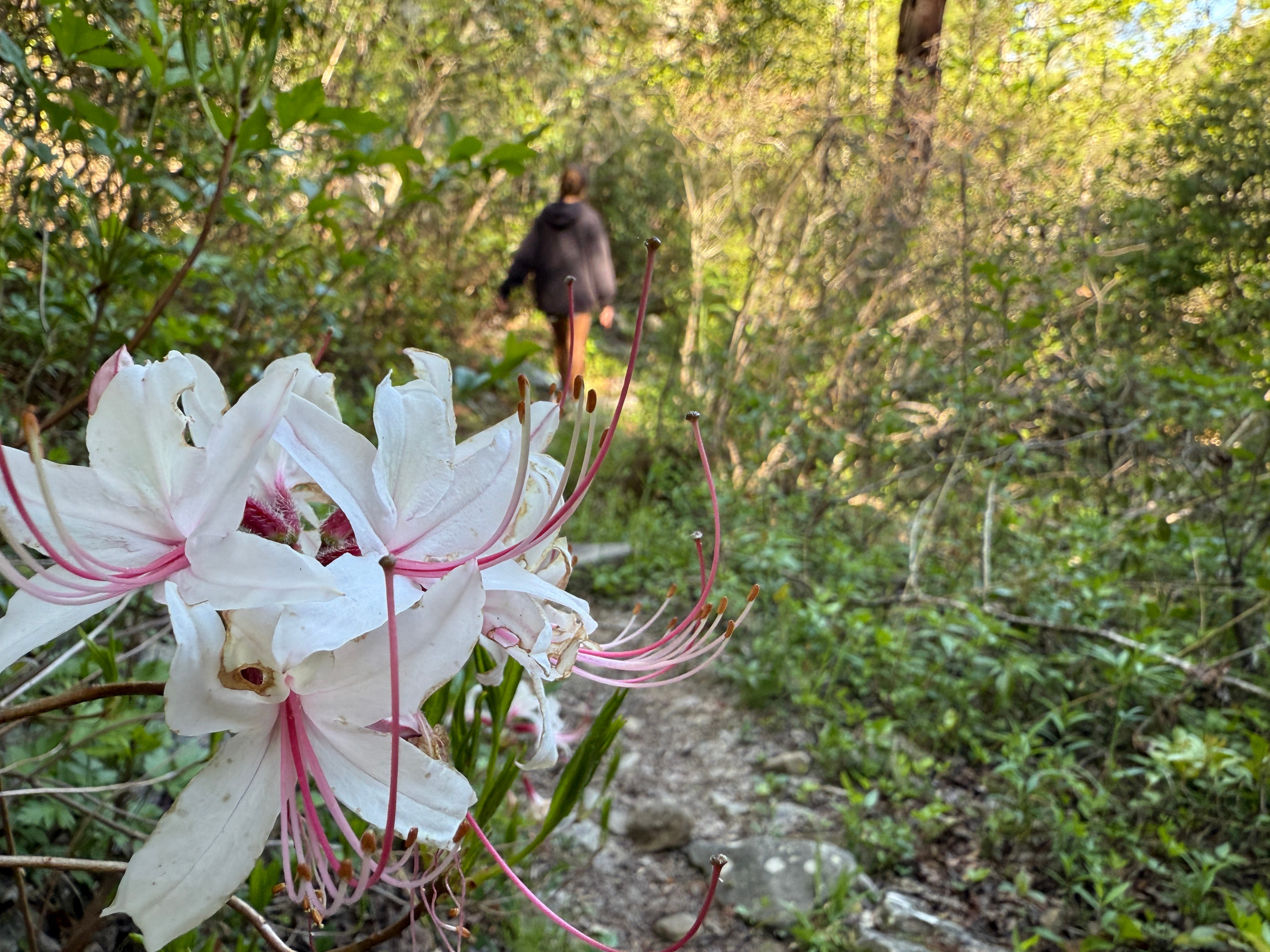
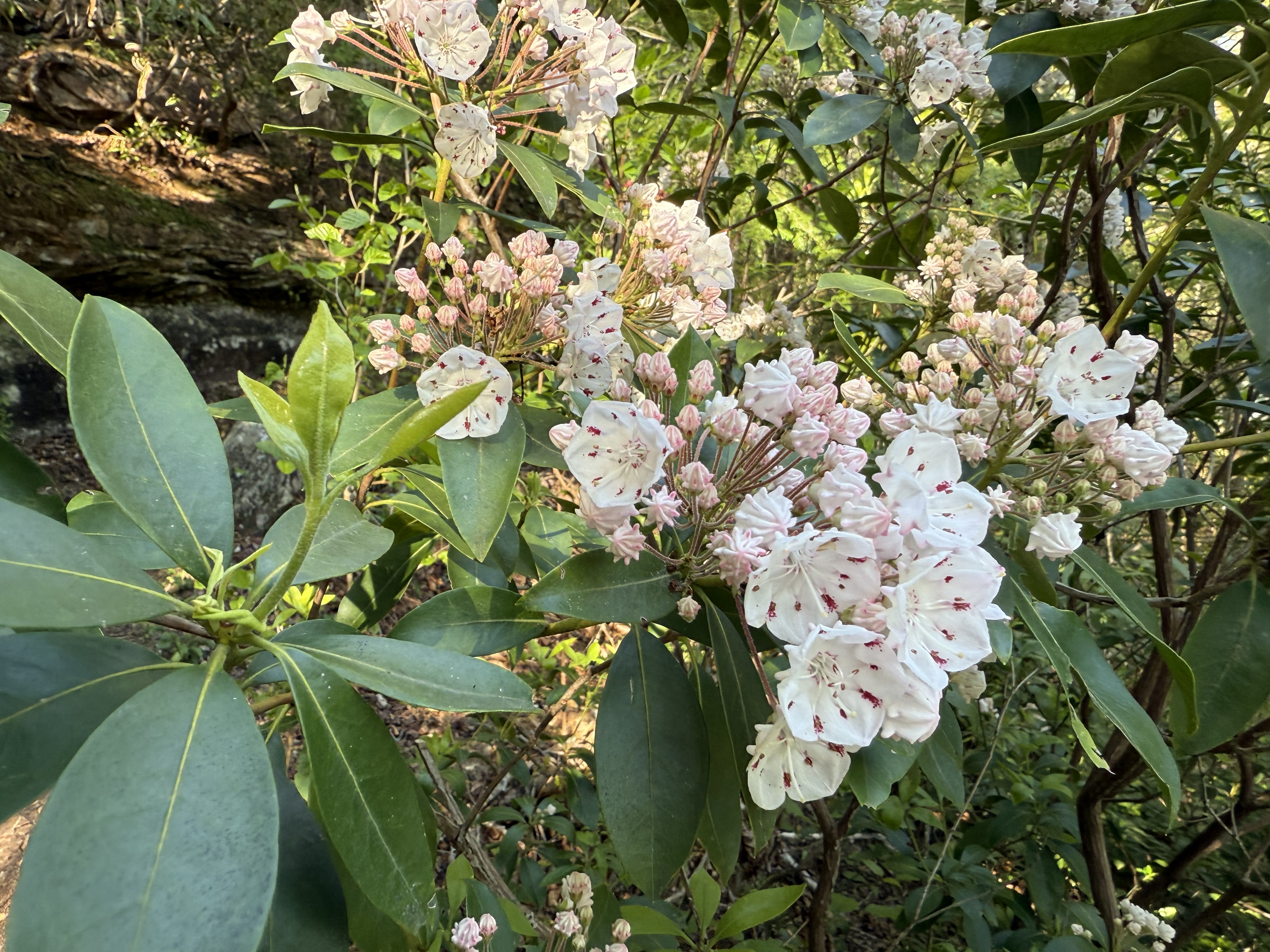
There’s nothing mild about the sights along the Burnt Mill Loop, however. The Clear Fork River is absolutely gorgeous. It earned its name, after all, because it is the clearest of the two primary tributaries of the Big South Fork (the other being New River). It is a pristine mountain stream that is especially gorgeous this time of year, when the last of the spring wildflowers are still blooming and the mountain laurel is coming into bloom.
So, off we go for Hike #6 of 14…


Burnt Mill Loop
Trailhead: Burnt Mill
Trail Type: Loop
Payoff: River views, rock formations
Difficulty: Moderate
Length: 4.2 miles
Elevation Gain: 385 feet
To get to Burnt Mill, take U.S. Highway 27 south to the New River community, then turn right onto Mountain View Road (by the New River carwash) and follow the signs. You’ll turn right and then immediately left at the old Shoemaker Store onto Mountain View Road, then right again onto Honey Creek Road at Black Creek Crossroads. Once at the trailhead, the trail is best hiked in a counter-clockwise direction. You’ll find the start of the trail by crossing Honey Creek Road by the bridge. The trail follows the river for nearly a mile, then crosses the ridge and drops to the river again, following the river for two more miles back to the trailhead. The small structure along the river’s edge just downstream from the bridge is the U.S. Geological Survey’s river gauge at Burnt Mill. The data it collects is constantly available online.
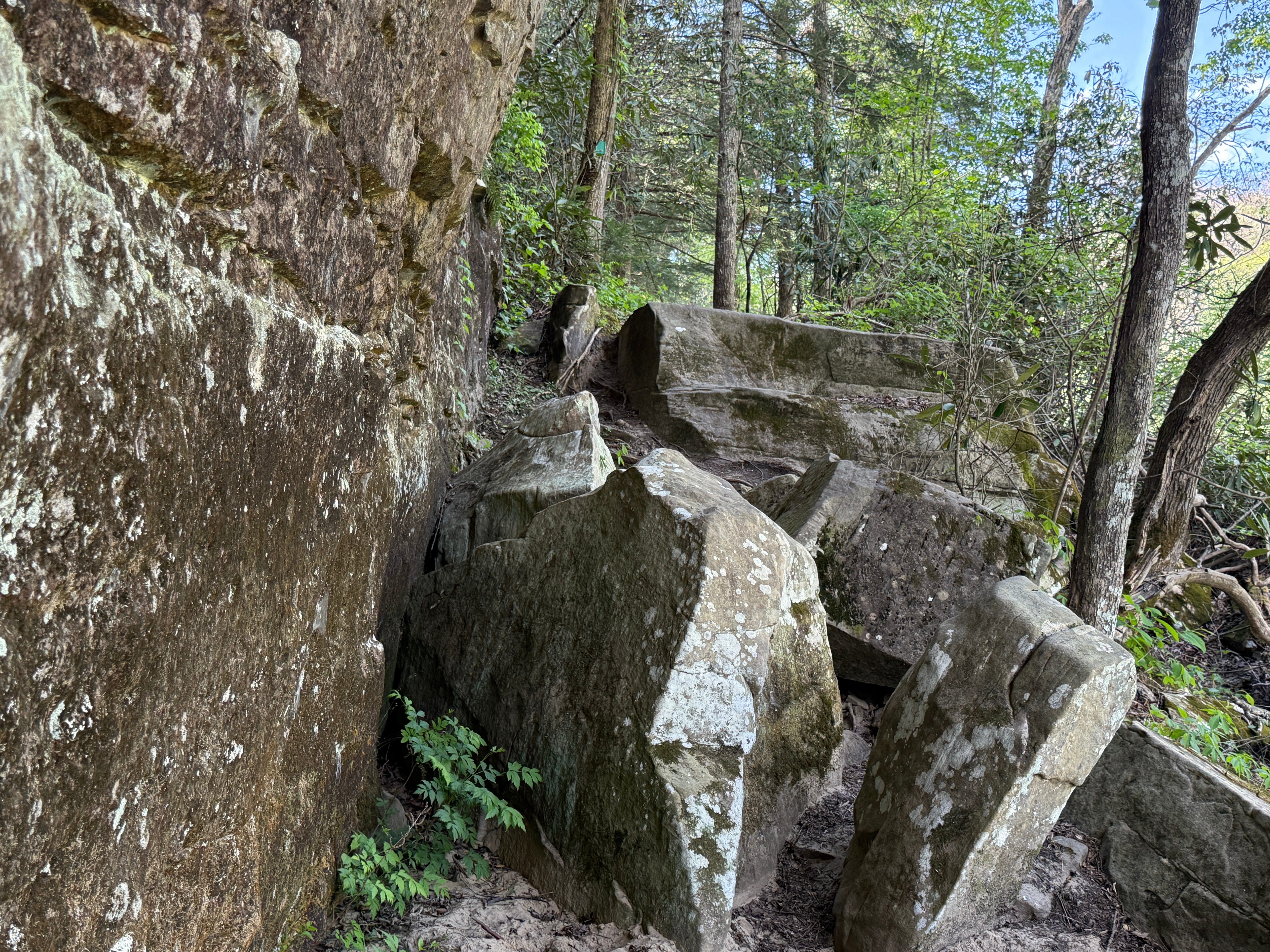
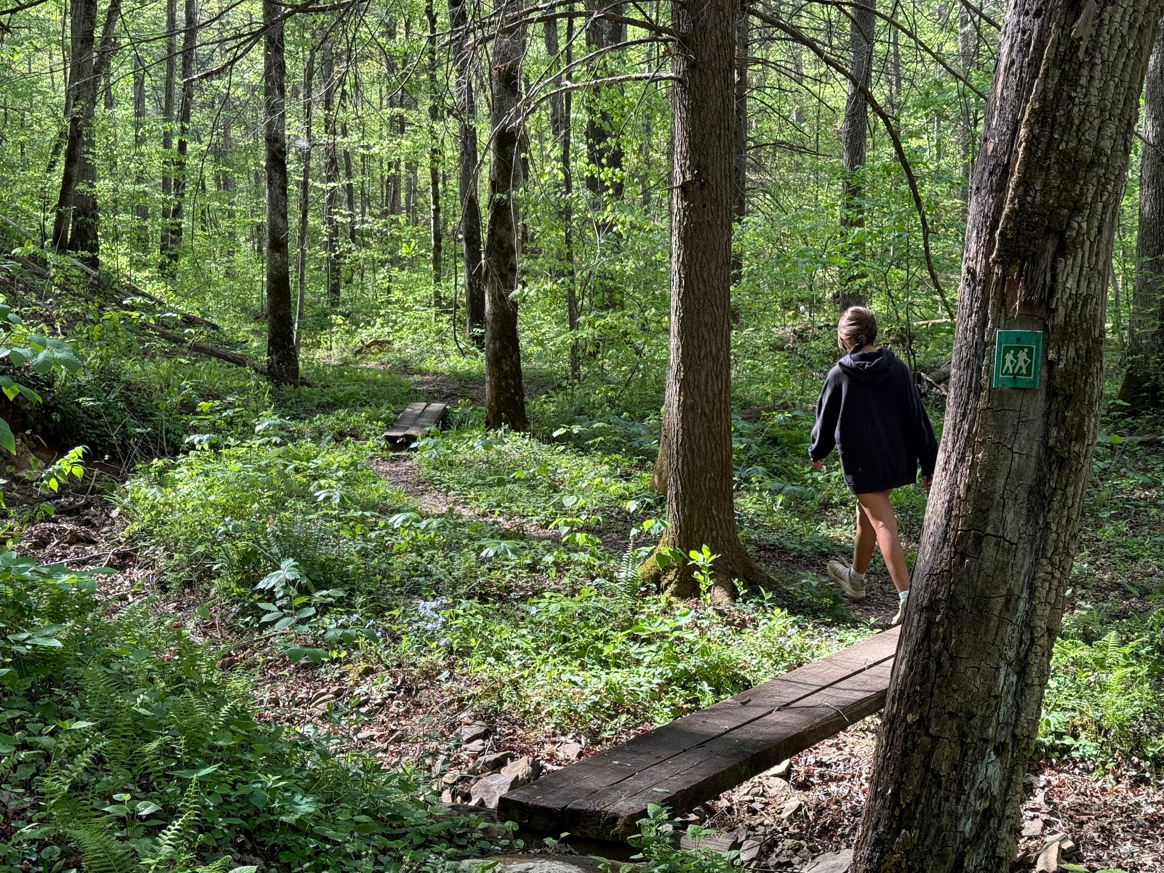
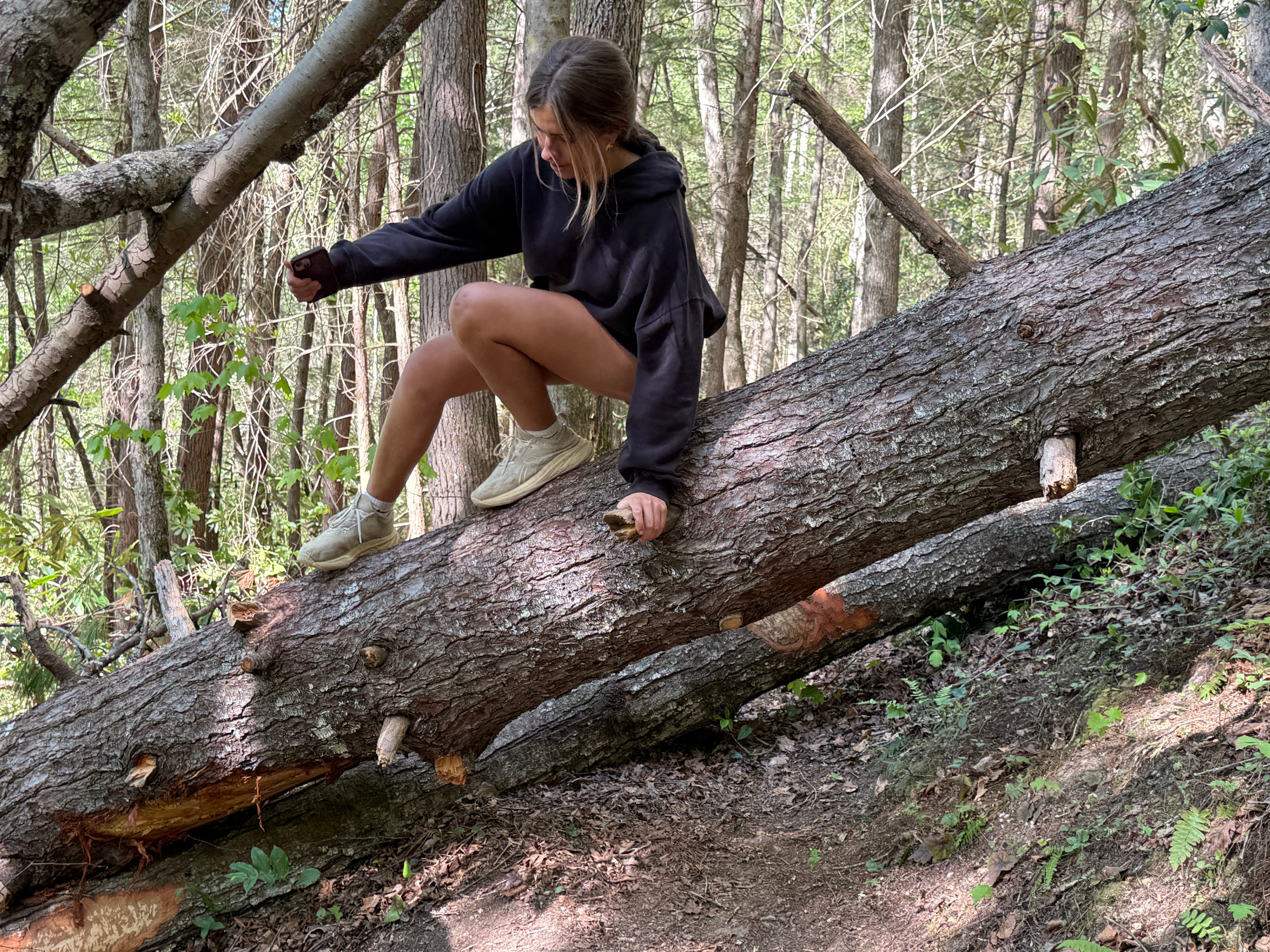
Mile 0.08: The trail requires a mild scramble over some boulders, one of several small boulder climbs along the route. At the top, you’ll find the first of several shallow rock shelters along the trail. The forest is a typical streamside forest in the Big South Fork, dominated by hemlocks with an understory of rhododendron and other shrubs that thrive in dense shade.
Mile 0.14: Keep your eyes peeled and you’ll notice the twisted steel remnants of the historic Burnt Mill Bridge on the far side of the river. The century-old bridge was washed away by a flood in March 2021.
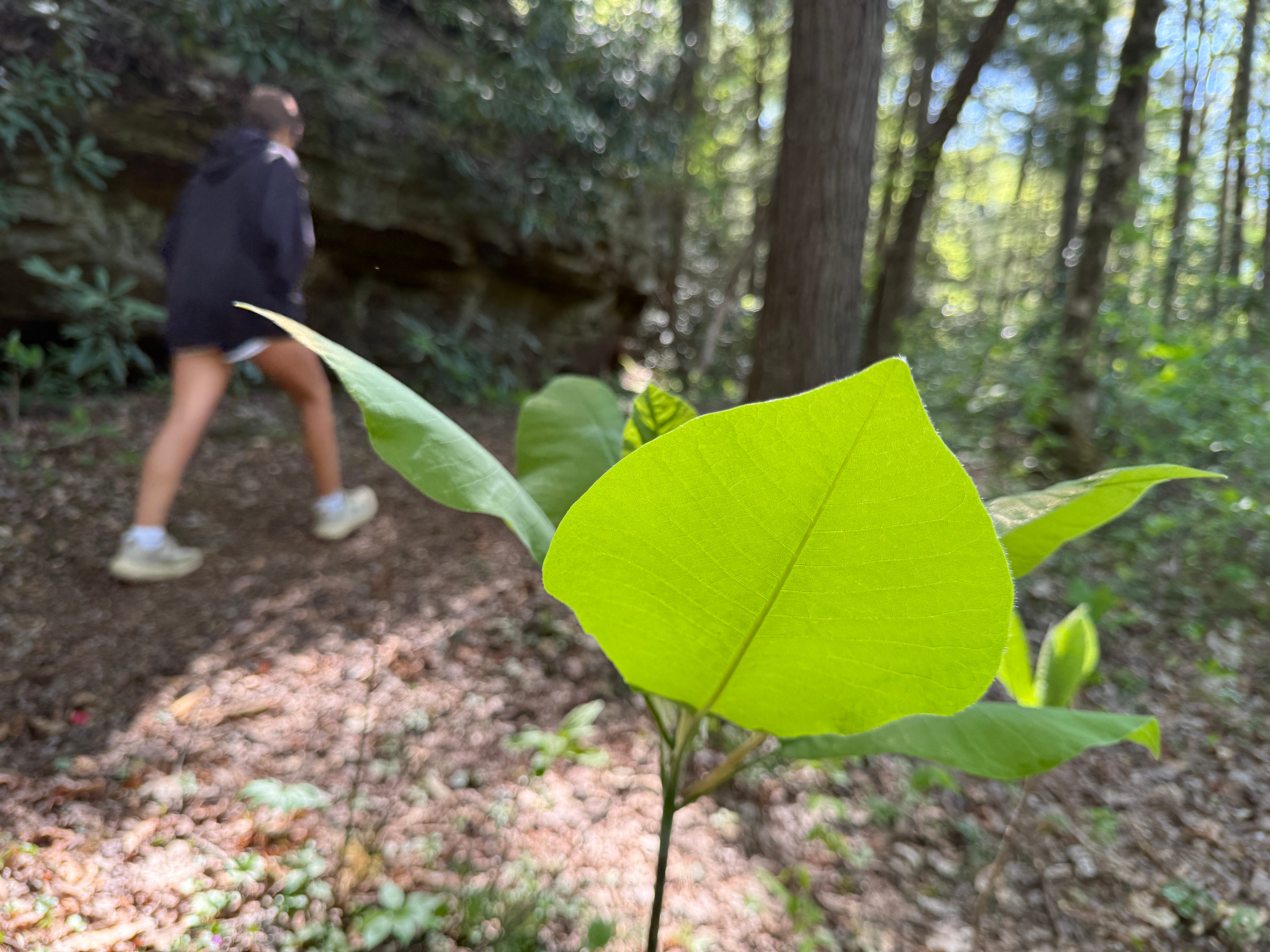
Mile 0.20: Notice the young magnolia trees growing in the understory. There are two species of magnolia found in the Big South Fork, usually along the rivers, and one of them — the big-leaf magnolia — has the single largest leaf and the largest flower of any tree in North America. It is found primarily on the Cumberland Plateau.
Mile 0.27: An unmarked foot trail joins the hiking trail. This trail is walked by locals who are accessing a swimming hole and camping spot from Honey Creek Road.
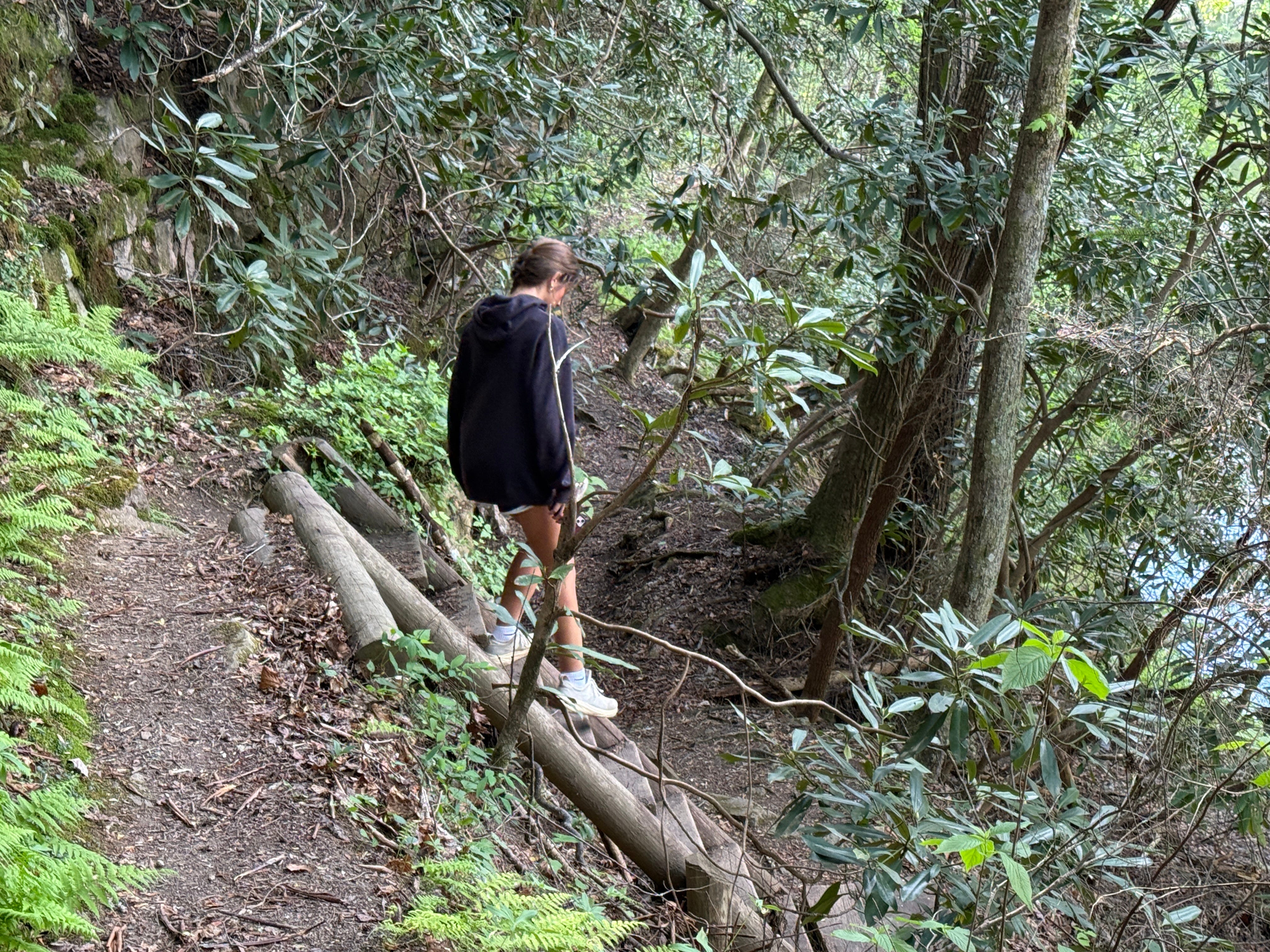
Mile 0.38: The trail descends a small ladder. From here, it continues along the river, between the bluff lines and the river’s edge. There’s nothing particularly noteworthy over the next half-mile, but it’s a beautiful hike.
Mile 0.85: The trail turns up an unnamed stream and leaves the river’s edge. There is a tiny cave on the left, and trilliums — one of the chief wildflowers of the Big South Fork — grow by the hundreds along the trail. The character of the forest changes significantly here. The trail leaves the towering hemlocks and the rhododendron understory behind, and travels up a lush stream bottom. There are several of these streams that feed into Clear Fork, and although the streams themselves are currently dry due to the drought we’re experiencing, the lush growth along them is fully underway.
Mile 1.08: The trail hooks into an old road trace that it will follow most of the way to the top of the plateau. The only serious ascent of the loop starts here.
Mile 1.28: The trail intersects with the Beaver Falls Trail, also known as the Lower John Muir Trail, which serves as a connector trail between Burnt Mill Loop and Honey Creek Loop. The good news is that the only hard part of the hike is over.
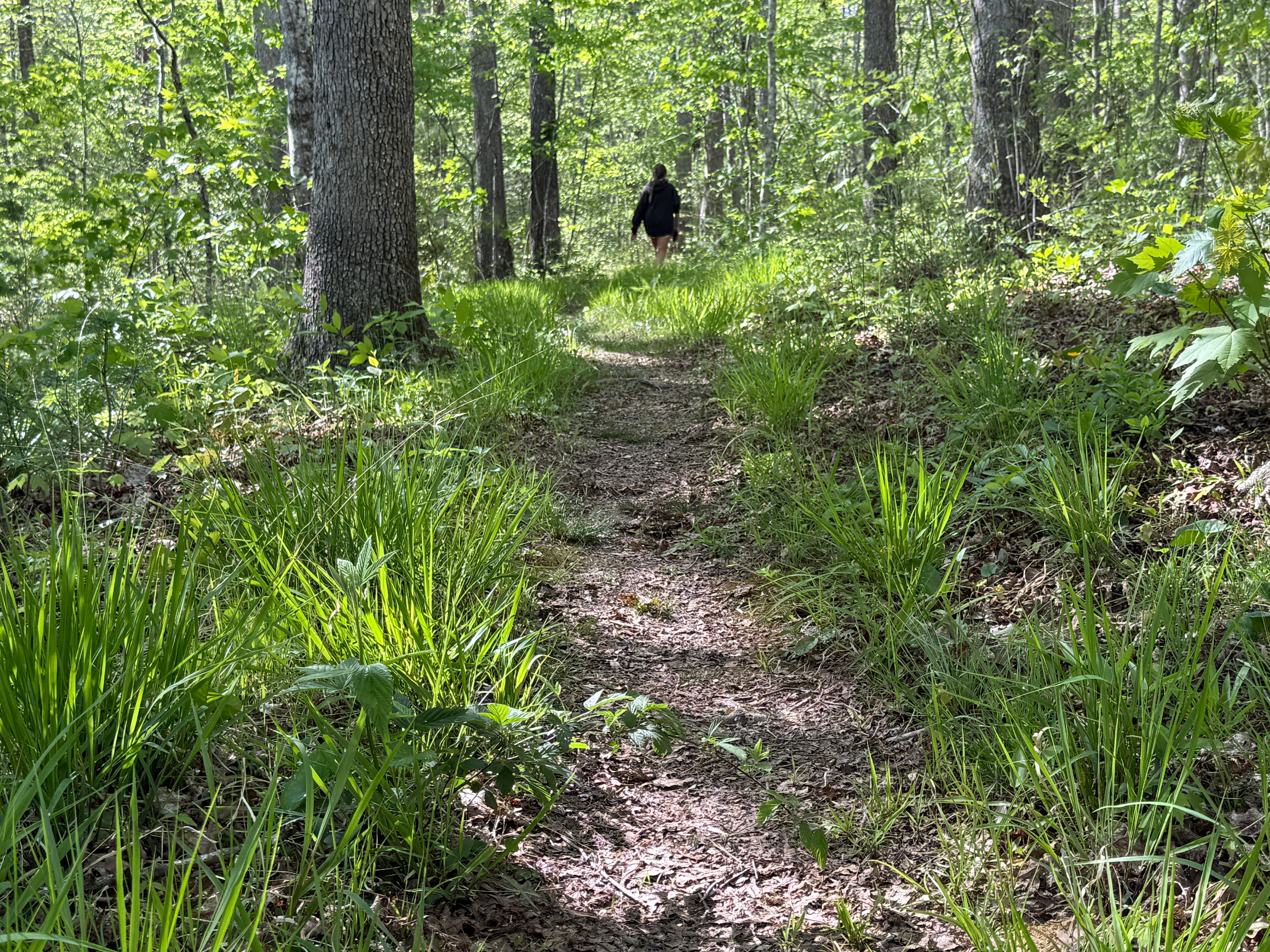
Mile 1.30: The trail crosses Honey Creek Road. The sign shows that it is 2.9 miles to the bridge. It’s not as far as it sounds, because it’s all downhill — or, at least, level. The forest type has changed again, and now is the open mixed hardwood forest that characterizes the plateau ridgetops of the BSF region. The next four-tenths of a mile will be mostly uneventful.
Mile 1.70: The valley to the right is the Clear Fork River coming back into view.
Mile 1.76: The trail begins its descent into the river gorge. Once more, the forest type will change, returning to predominately to hemlock, rhododendron, and various riverside shrubs.
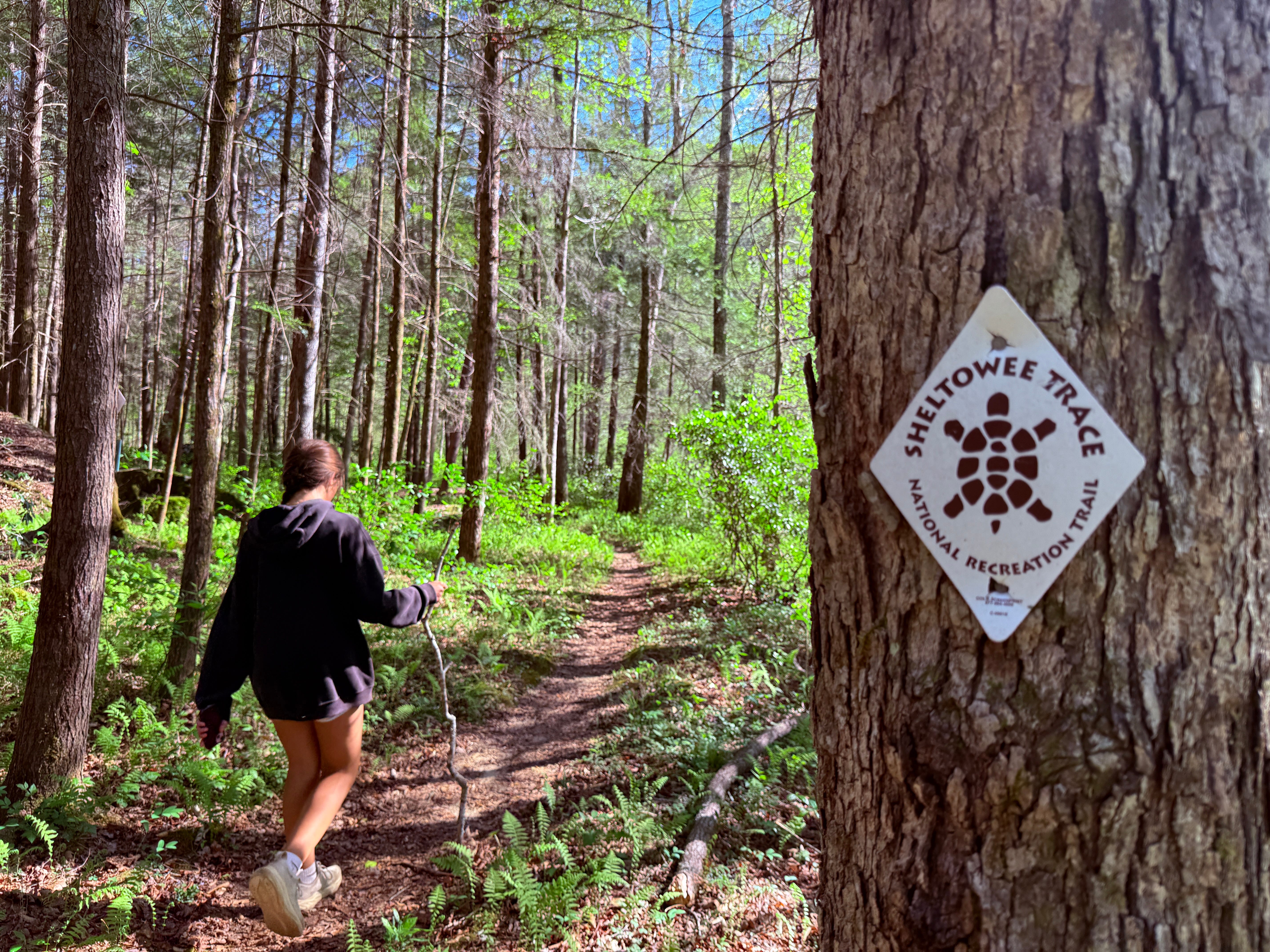
Mile 2.0: The trail reaches the river. Soon, another extension of the John Muir Trail and the Sheltowee Trace National Recreation Trail will depart here, continuing upstream along Clear Fork to Brewster Ford and then into the village of Rugby.
Mile 2.26: The hemlocks you’re seeing here are some of the largest in the southern portion of the Big South Fork NRRA. They’re giant, old hemlocks.
Mile 2.37: The trail passes through thick stands of rhododenron. This stretch, from Mile 2.0 to roughly Mile 3.0, is Burnt Mill Loop at its absolute best. Keep your phone at the ready, because there are plenty of photo opportunities along this stretch of trail.
Mile 2.52: A backcountry campsite comes into view. It is a beautiful campsite in a deeply shaded hemlock grove.
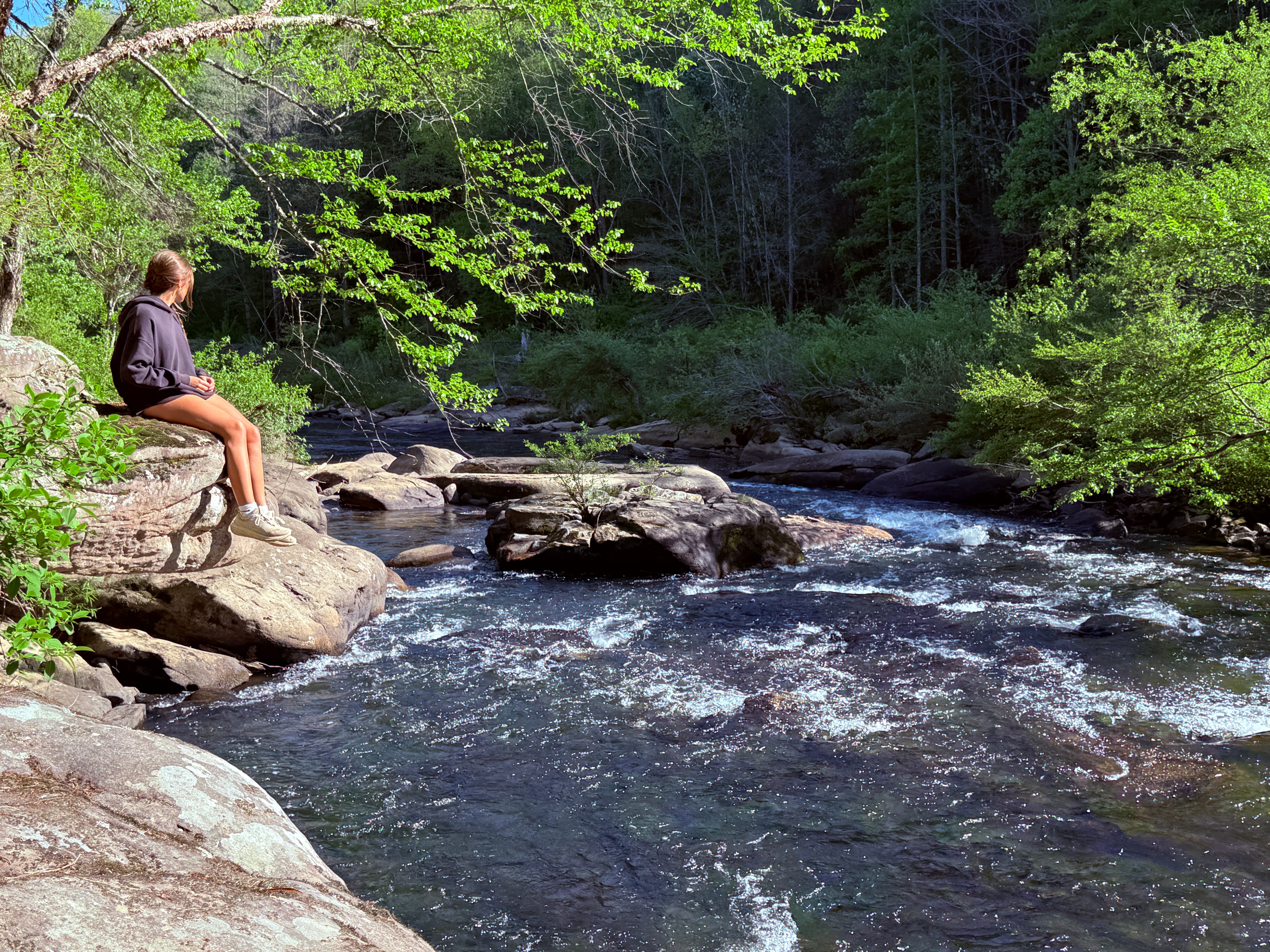
Mile 2.63: The whitewater rapid here is the roughest and most technical found anywhere upstream of Burnt Mill Bridge. It’s only a Class II-III rapid, but it’s an exception in a river that’s otherwise mostly gentle between Brewster Ford and Burnt Mill Ford. The rock that juts out over the river is an excellent spot to take pictures, or just sit and enjoy the sounds of the rushing water.
Mile 2.79: A faint foot trail to the left leads to Burnt Mill Shower, a wet-weather waterfall. It isn’t much right now, thanks to the lack of rainfall our region has experienced, but it’s still a nice feature along the trail.
Mile 3.06: The trail hooks into an old road trace.
Mile 3.15: There’s another campsite on the left side of the trail. The river here is flat-bottomed and shallow, making an excellent place to wade in and cool off when the streamflow is at summer levels.
Mile 3.35: The old road trace departs the trail on the left. This was called the Old Dump Road by locals. Like most other roads leading into the gorge, it was closed by the National Park Service in 1989. Today, it’s barely visible through the forest growth.
Mile 3.61: The river, which could constantly be heard gurgling further upstream, becomes calm and silent south of the Old Dump Road. There’s only one set of rapids between the rapids just above Burnt Mill Ford and the backcountry campsite at Mile 3.15. They’re located here, at the mouth of Skull Creek, the stream that drains the Black Creek Crossroads area and parts of West Robbins. You can see the stream entering river right, just above the rapids.
Mile 3.97: An old road trace is visible going up the hill to the left of the trail. This is the original Honey Creek Road, before the modern road was built. At the top of the hill here, located off-trail, is the mysterious Foote Cemetery.
Mile 4.22: The trail reaches the trailhead.
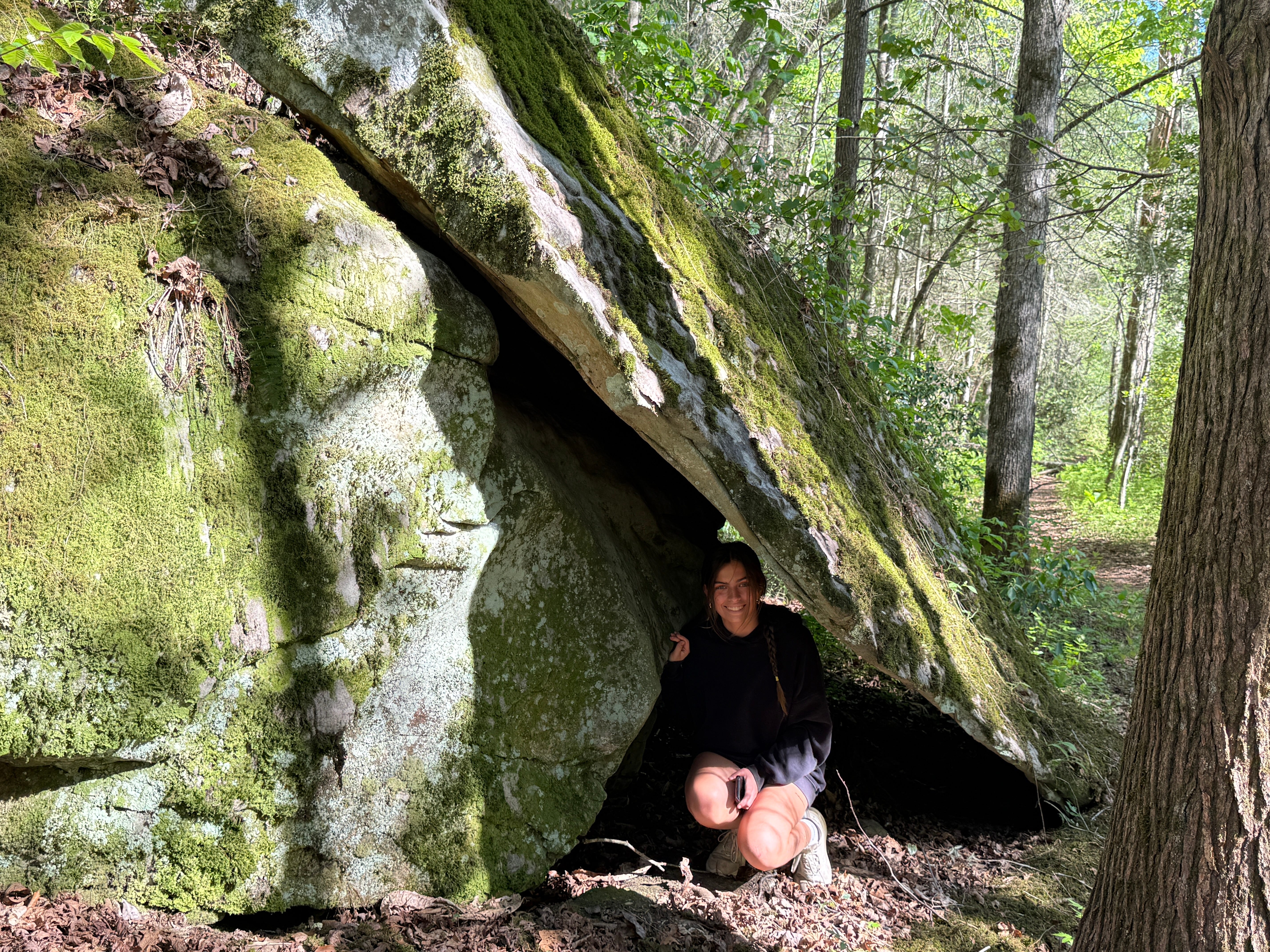
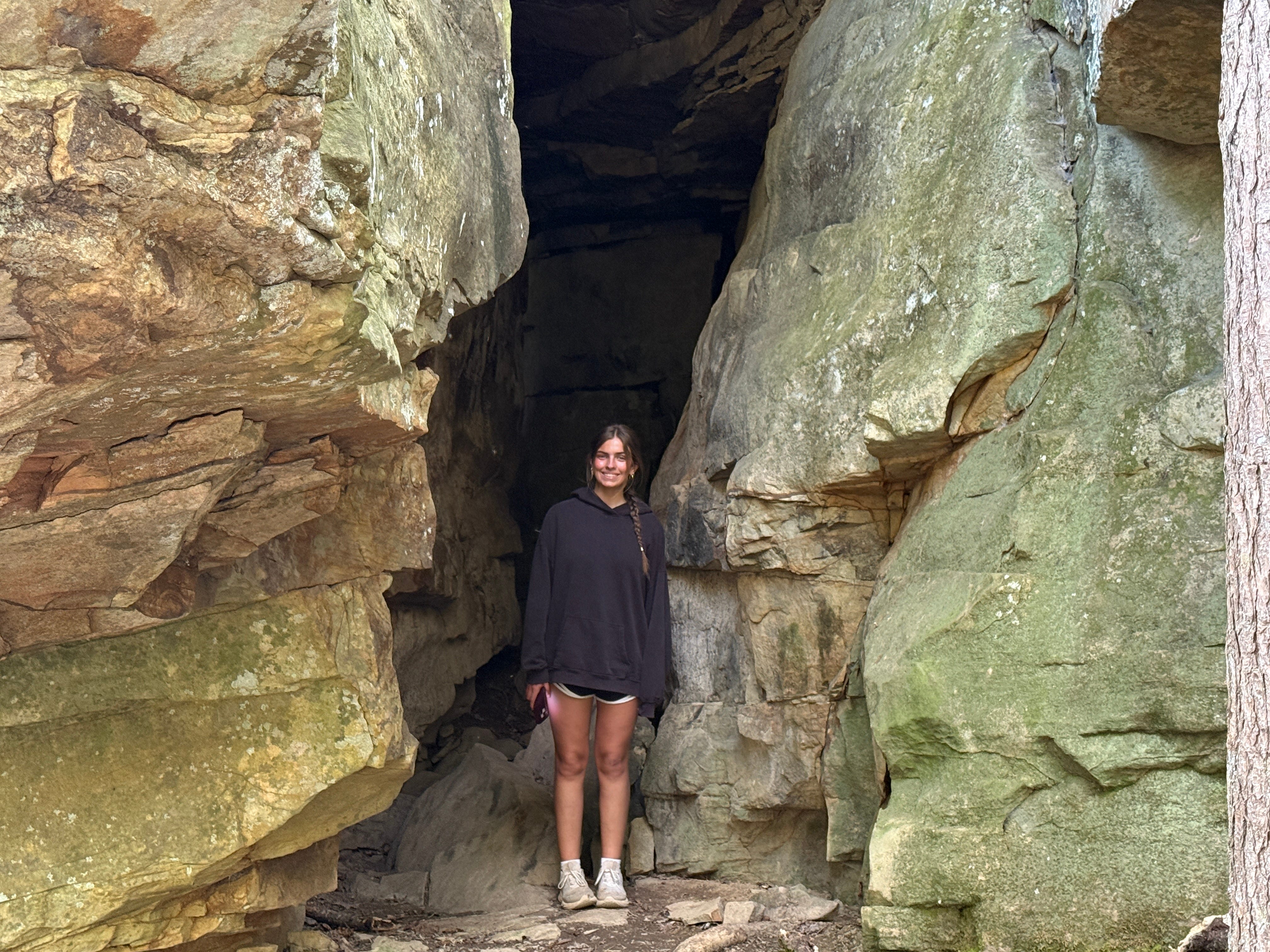
Scavenger Hunt: This week’s virtual scavenger hunt is for a unique rock that has broken over time, the top layer of the rock sliding down to the ground and resting against the base of the rock to form a natural tunnel. Snap a photo of this rock and tag it with the hashtag #SpringHikingChallenge to be entered into this week’s random prize drawing, which will be for a prize pack that includes a waterproof National Geographic trails map of the Big South Fork, a compass, and more.
Historical Context: The old bridge over Clear Fork at Burnt Mill Ford was a Pratt through truss and Pratt half-hip pony through truss that was constructed in 1920 by J.I. and E.K. Foster Bridge Builders. It was closed to vehicular traffic in 2003 after being condemned by the TN Dept. of Transportation, but it remained as a pedestrian bridge until half of it was lost to raging flood waters in March 2021.
Make It Better: Just about three miles west of Burnt Mill Ford is the Honey Creek Trailhead. At the end of Honey Creek Loop Road, which is nine-tenths of a mile beyond the trailhead, is the Honey Creek Overlook, which provides spectacular views of the Big South Fork River gorge. The overlook is accessible via a short, easy walk from the parking lot.
Be Careful For: There are no significant hazards along the Burnt Mill Loop Trail.
Please Remember: Hikers are encouraged to obey the “Leave No Trace” ethic. “Leave only footprints, take only memories.” Please do not litter! Also, remember that while all trails in the Big South Fork are dog-friendly, all dogs must be leashed and kept within six feet.
Document Your Hike: Record your participation on this week’s hike by taking a photo of you and your group and tagging it with the #SpringHikingChallenge hashtag on social media (make sure the post privacy is set to public!) or emailing newsroom@ihoneida.com.