

Week #13: Gentlemen's Swimming Hole
We've reached the next-to-last hike of the Spring Hiking Challenge

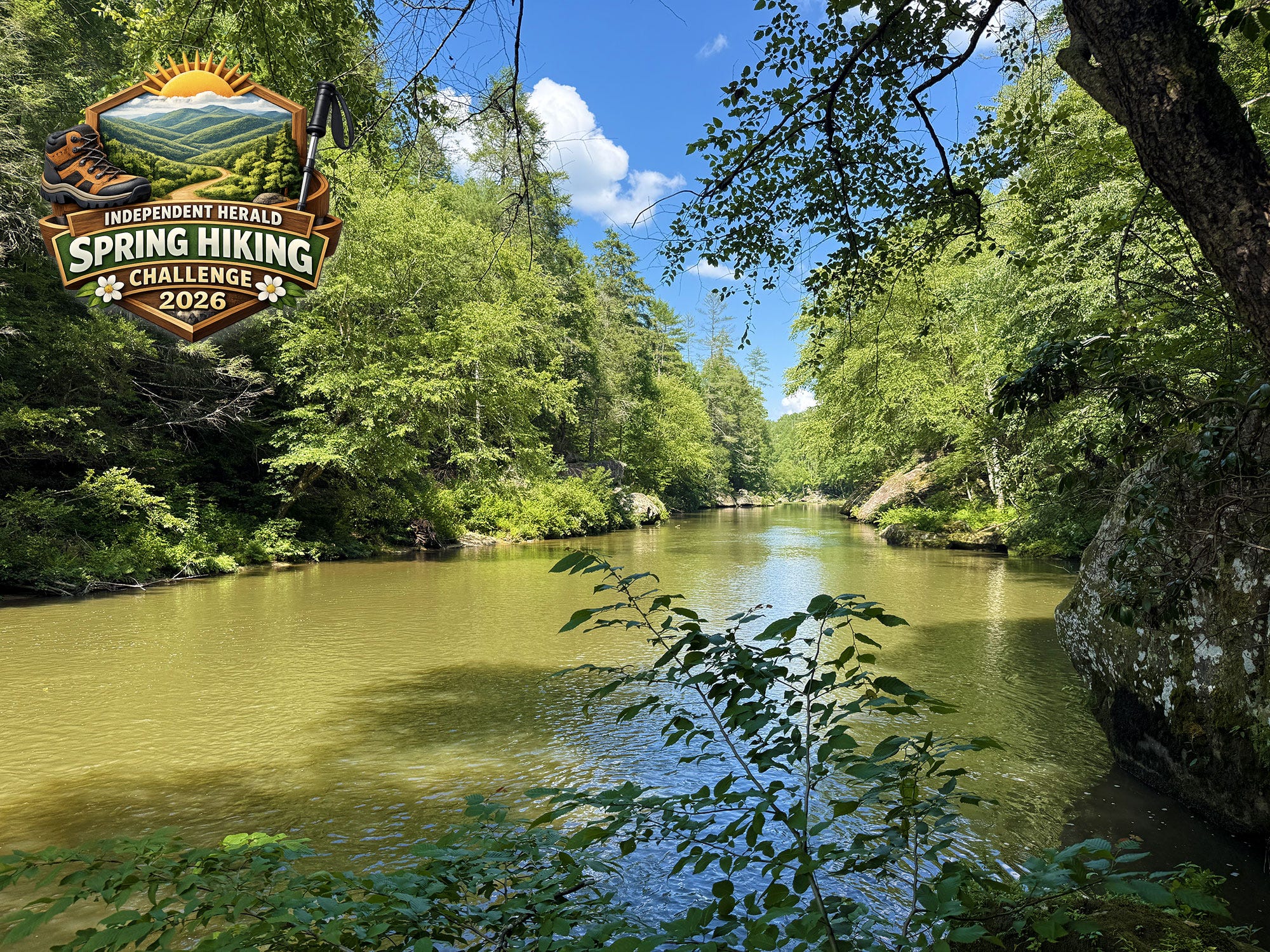
Gentlemen’s Swimming Hole
Trailhead: Laurel Dale Cemetery
Trail Type: Loop
Payoff: River views, rock formations
Length: 2.2 miles
Elevation Gain: 1,035 feet
Difficulty: Moderate
We’re nearing the end of the Spring Hiking Challenge, and visiting the historic Rugby settlement for the second time with a trip to a destination that is among many people’s favorites: Gentlemen’s Swimming Hole. This is a trail that combines spectacular beauty with a subtle dose of history — subtle because you don’t even realize it unless you’re looking for it, but powerful once you know it.
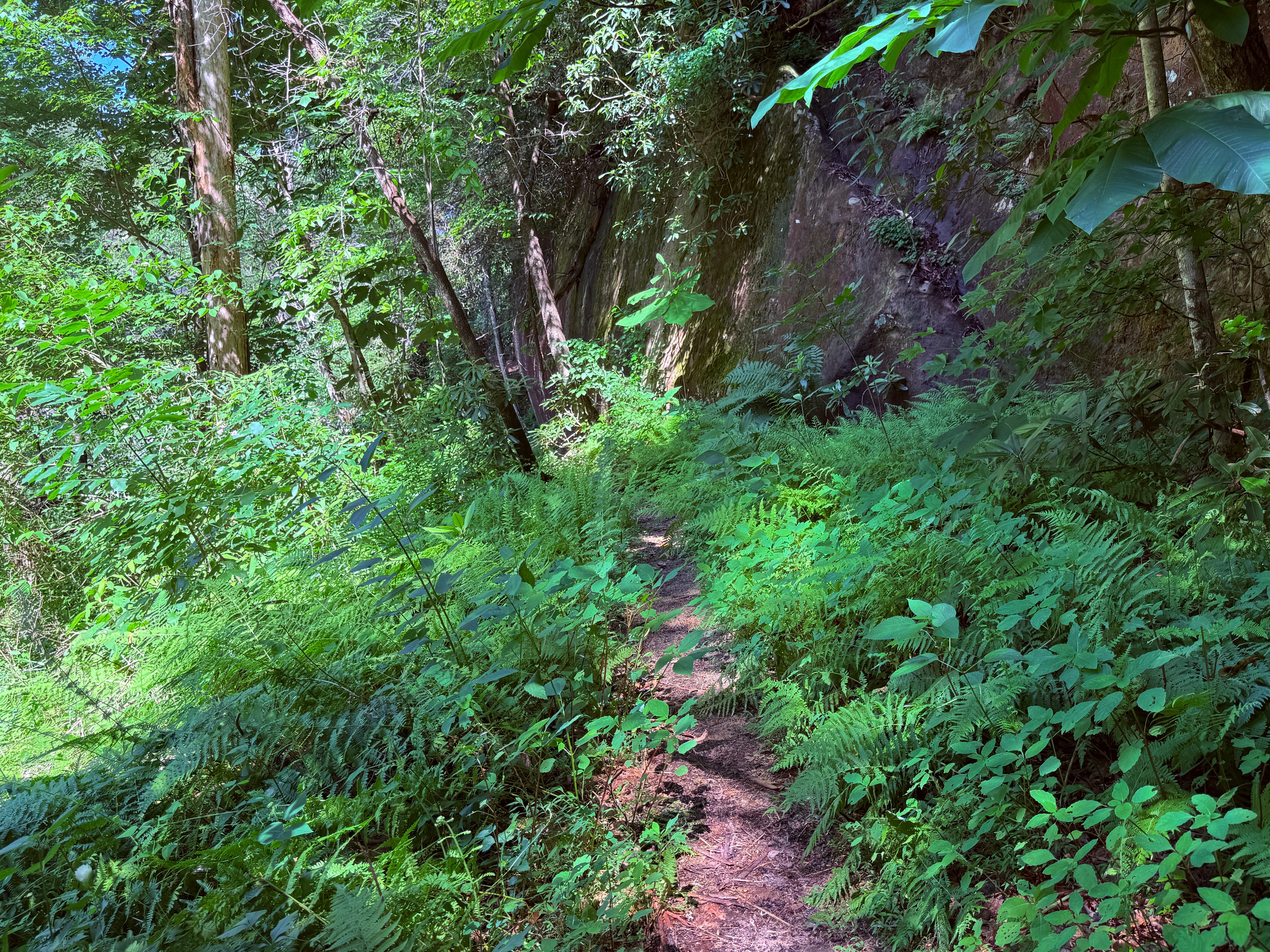
This short, 2.2-mile hike begins and ends at the Laurel Dale Cemetery just outside Rugby. It begins with a downhill trek to the river to the popular (and historic) swimming hole, then follows the river beneath towering bluff lines to the Meeting of the Waters, then climbs back to the top of the ridge and follows the ridgetop back to the trailhead.
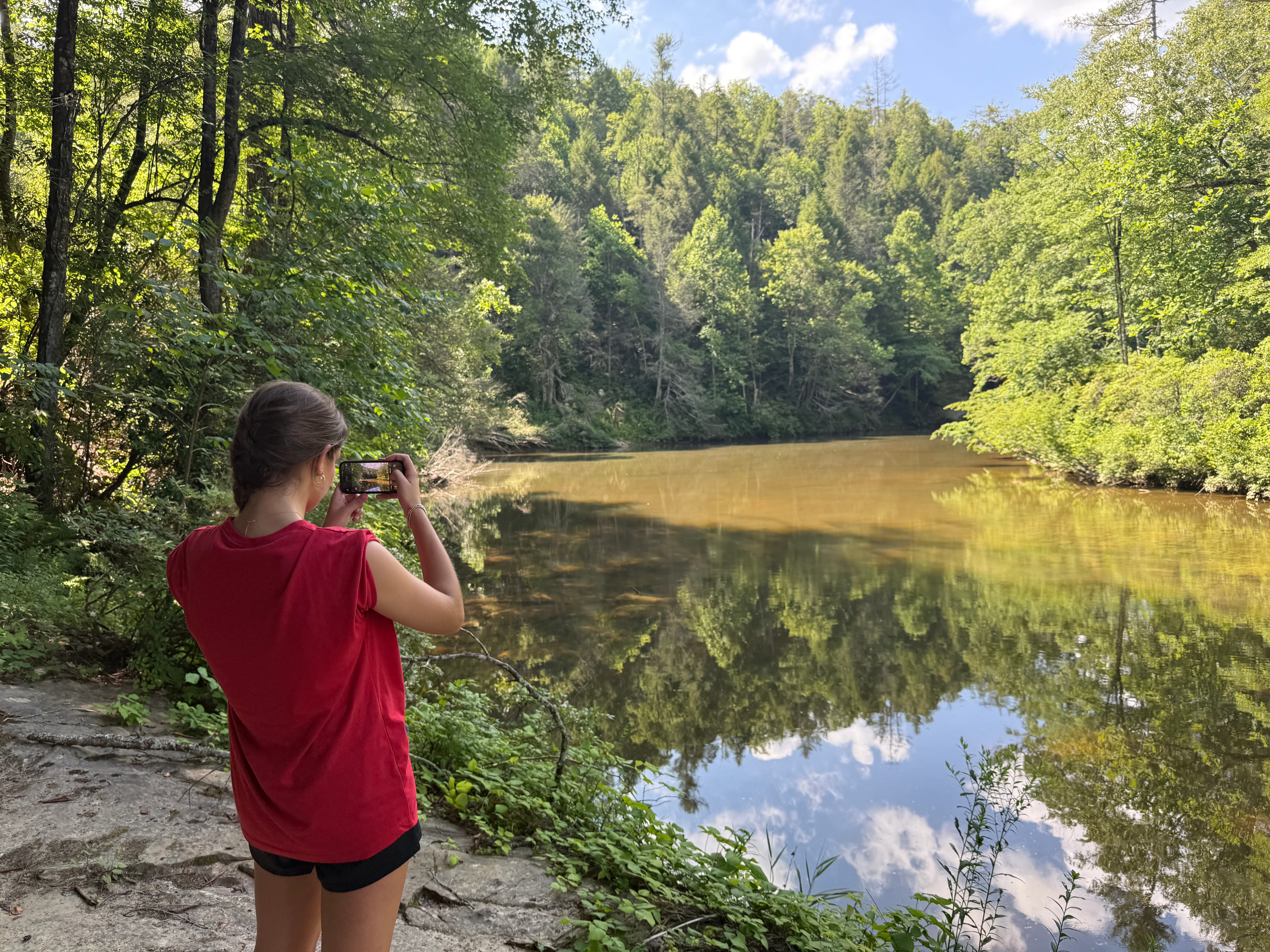
The Clear Fork River is arguably Scott County’s most beautiful stream. At summer flow, it offers many excellent places to swim or simply wade into the water, and Gentlemen’s Swimming Hole is one of those. Not only is it a preferred swimming destination among locals today, but it was where the men of Rugby went to swim (and bathe). Of course, that was the 1890s, and it would’ve been improper for the ladies to be in the same pool with the men, so they had their own swimming hole just upstream. Hence the name of this one: Gentlemen’s Swimming Hole.
After English author and social reformer Thomas Hughes founded Rugby as a home for second sons of English gentry, he visited in 1880 and awoke his first morning in the fledgling village to the sounds of young men gathering. “In a few minutes,” he wrote, “several appeared in flannel shirts and trousers, bound for one of the two rivers which run close by. They had heard of a pool 10 feet deep … and a most delicious place it is, surrounded by great rocks, lying in a corpse of rhododendrons, azaleas, and magnolias.”
That pool that Hughes wrote about was the Gentlemen’s Swimming Hole, and the trail we’re going to hike to get there is the same trail they built and used to get to the river nearly 150 years ago.
To get there, take S.R. 52 west from Elgin to the turnoff for Rugby Parkway, which is the old highway leading into and through the historic village. As you drive through the village, look for the sign for Laurel Dale Cemetery, and turn right onto Laurel Dale Cemetery Road (it’s the second right past Christ Church Episcopal). Follow the road a half mile to Laurel Dale Cemetery, where it ends at the trailhead. The trail will depart on the west side of the small loop at the end of the road.
Mile 0.01: The trail forks. Go left to hike the loop in a clockwise direction.
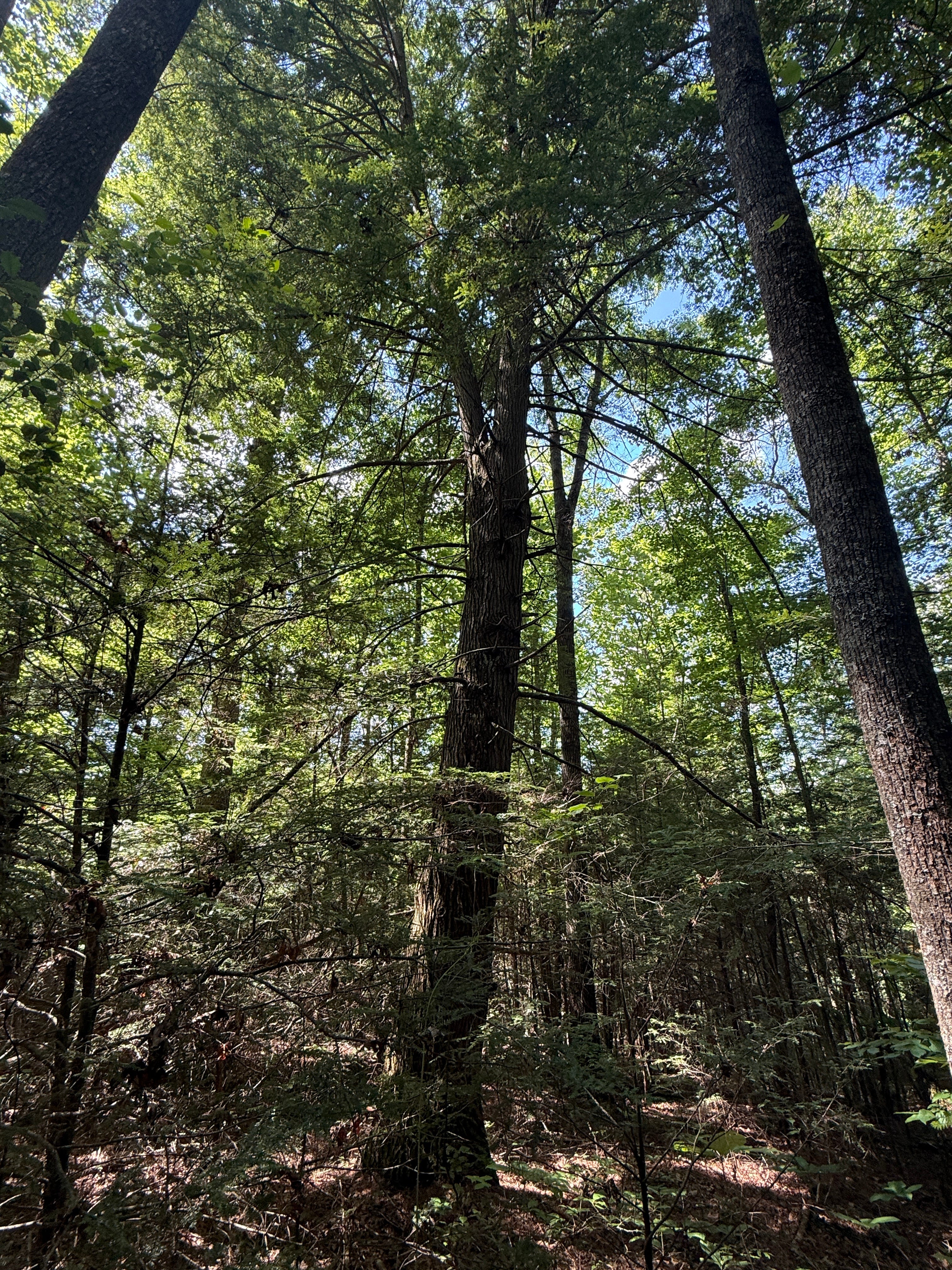
Mile 0.14: Note the huge hemlock tree on the right side of the trail. This is one of the biggest hemlock trees standing in the entire Big South Fork National River & Recreation Area. Hemlocks have always grown in abundance in this region, and were important to the early settlers who chopped down many and used them to build their homes. There are several massive white pines growing along this section of the trail, as well.
Mile 0.20: The forest darkens as the trail enters a small stream drainage. This is the closest thing to an old-growth forest you’ll find in the Big South Fork, which was heavily logged in the 20th century. There are enormous evergreens — hemlocks and white pines alike — growing along this small drainage. Although it’s a wet-weather stream that is dry during the summer months, the hemlocks shade this drainage and provide cover for a variety of plant and animal life that thrive in these conditions. The same is true with almost every drainage in the Big South Fork region.

Mile 0.25: The trail descends down some rock steps. Be careful; these are slippery.
Mile 0.28: The trail enters a dense thicket of rhododendron. There are three species of rhododendron that grow naturally in the Big South Fork region, including Rosebay, Catawba, and Flame Azalea. (The Flame Azalea is relatively uncommon but a spectacular find when you happen across it, producing vibrant orange flowers in late spring … unfortunately, we won’t find that particular species along this trail.) The shaded, steep ravines of the BSF landscapes provide a perfect microclimate for rhododendron to thrive, often in the shade of the hemlock canopy.
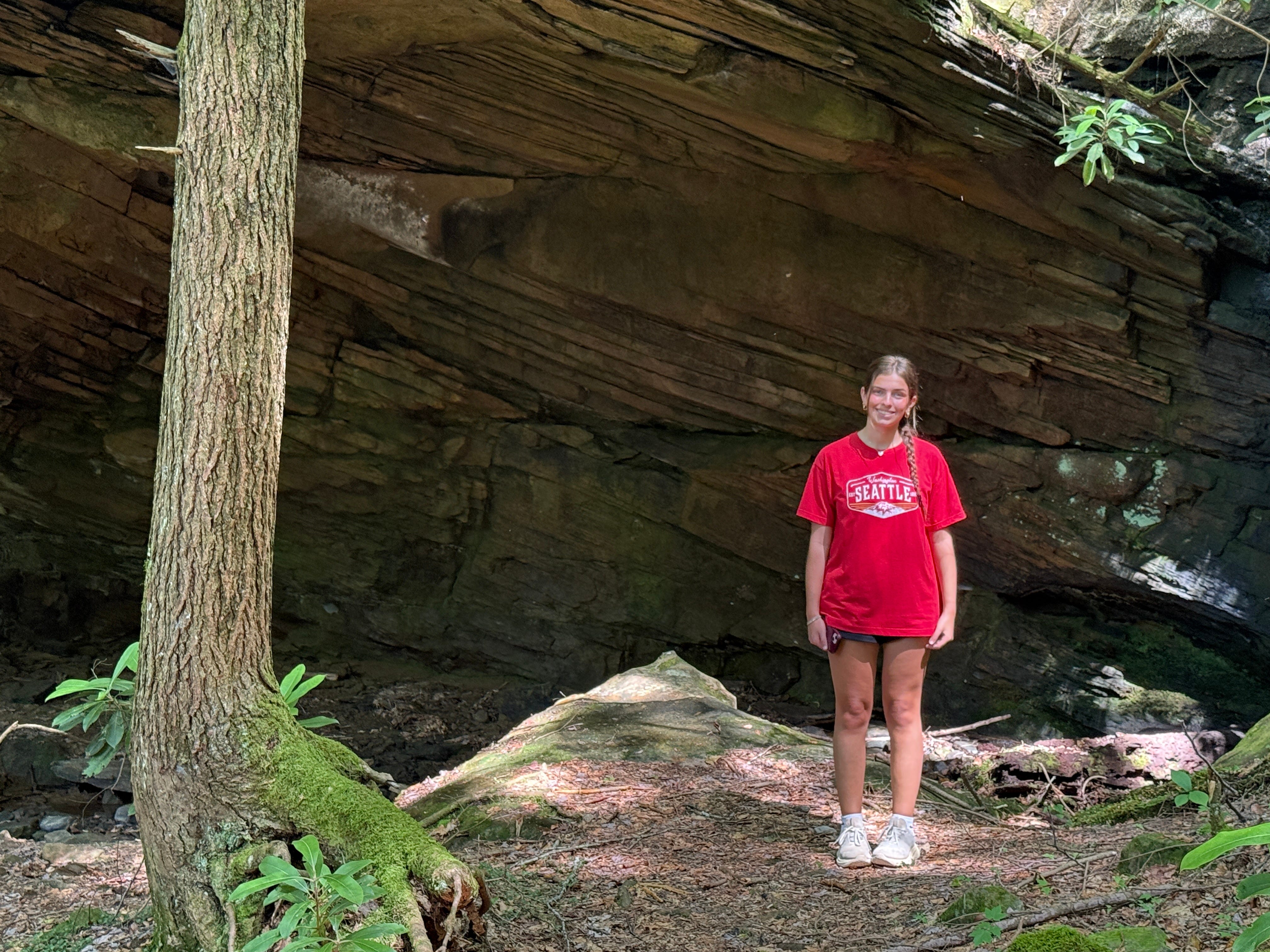
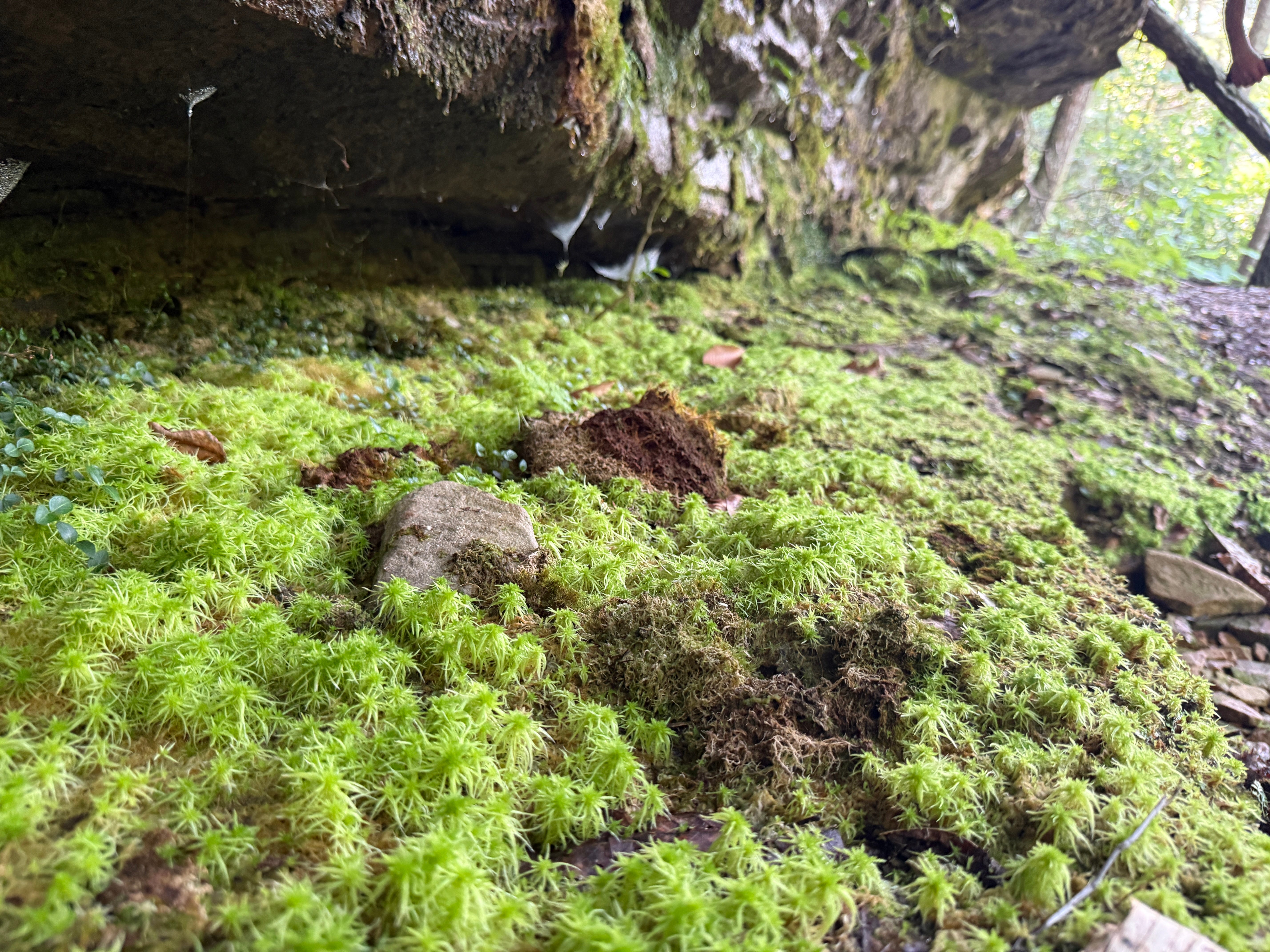
Mile 0.30: As the trail winds its way to the river, it passes Witches Cave — which is really just a picturesque rock overhang along the right side of the trail. These rock shelters are common throughout the Big South Fork region, and this one pales in comparison to many, but you can imagine how early settlers from England and Boston felt when they witnessed these craggy sandstone rocks for the first time. Their only experience with the BSF had been disembarking from the train at Sedgemoor (Elgin) and riding a buggy west across the Rugby Road (which we now know as S.R. 52). Their trip to find the mysterious 10-foot-deep hole of water at the river was their first exposure to these spectacular gorges. Little wonder they conjured up visions of witches lurking in the shadows.
Mile 0.36: A spur trail leads left off the main trail. This is the way to Gentlemen’s Swimming Hole. It’s worth your effort to take the extra steps to the river’s edge. It’s a picturesque area with a small, sandy beach and a rapids that empties into a deep hole of water. You can swim here, or simply wade far enough in to get your knees wet. Either way, it’s a great place to cool off from the heat.
Mile 0.43: Back at the main trail, go left to continue the hike. For the next half-mile, the trail will squeeze between the river on the left and the bluff lines on the right. Enjoy the sights, sounds and smells — because the free-flowing water tumbling over all that rock creates a very distinctive smell that is especially noticeable during the summer months — of the Clear Fork. Because of the nature of this section of trail, there are many short ups and downs, giving the loop much of its elevation gain without being too strenuous.
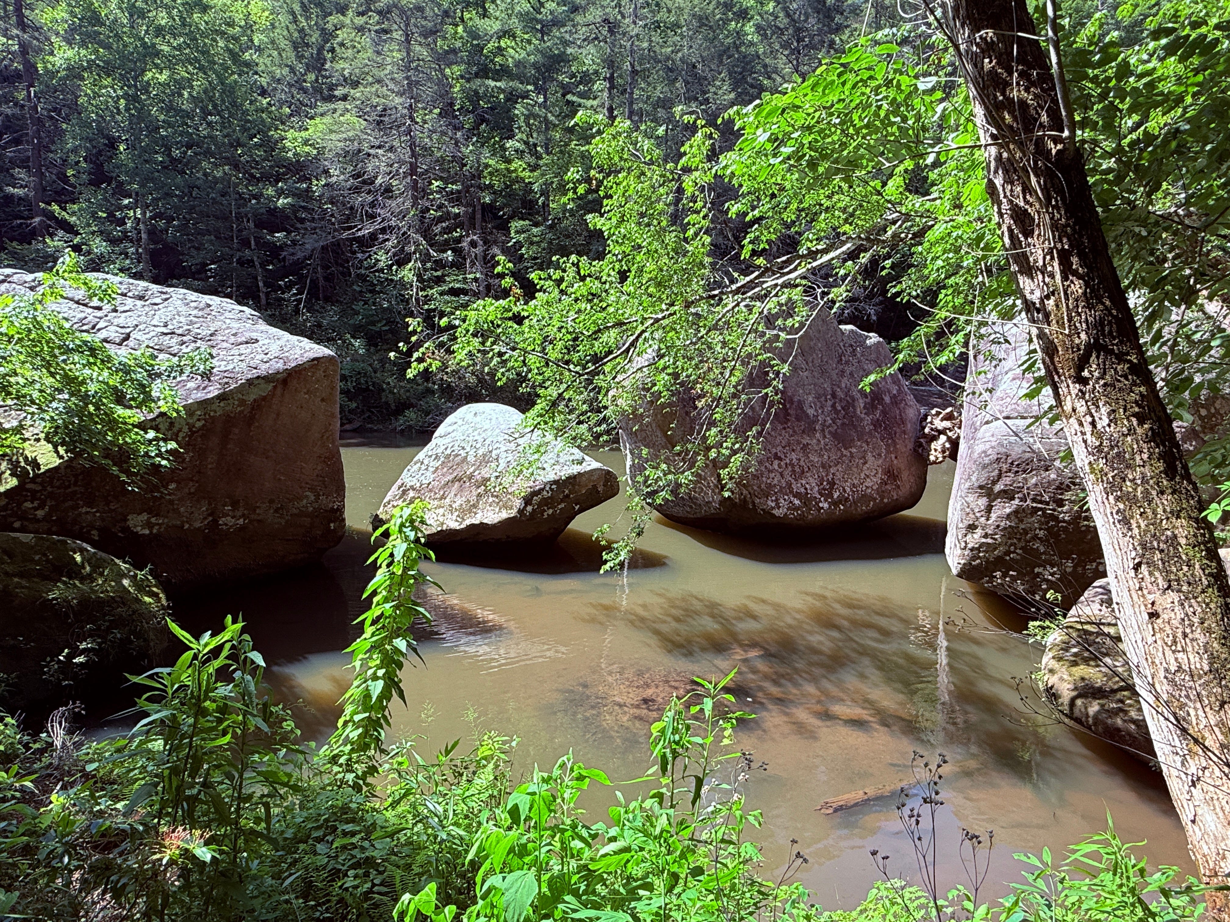
Mile 0.90: Check out the maze of huge sandstone boulders in the river’s edge.
Mile 1.22: The trail reaches “Meeting of the Waters,” which is what the Rugby villagers called the place where White Oak Creek empties into Clear Fork. They considered these two separate rivers. Today, we consider one a small river and one a creek. There isn’t much distinction between them. If you close your eyes while the trail makes its turn away from Clear Fork and up White Oak, you’d open them and swear that you were still along Clear Fork and the stream had changed directions. Fun fact: There are two White Oak Creeks in the Big South Fork. Today, we call the other North White Oak to distinguish it. It empties into the BSF River below O&W Bridge, and the old railroad grade parallels it into Fentress County. This White Oak — South White Oak — drains part of northern Morgan County south of Rugby. These two streams are the largest tributaries of the Big South Fork River, besides Clear Fork and New River.
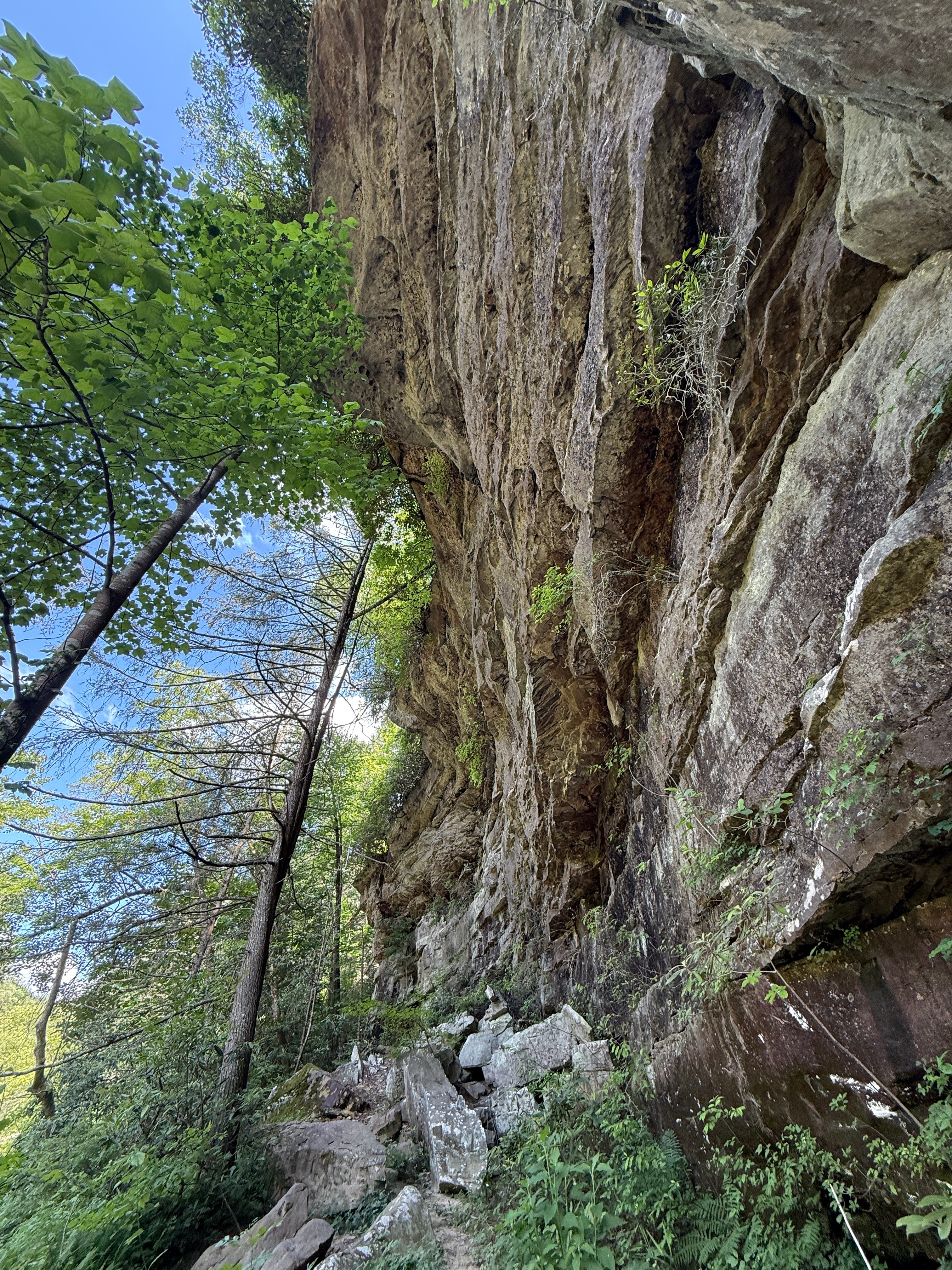
Mile 1.26: The trail passes beneath a towering cliff line.
Mile 1.31: The grunt-work part of the hike begins, and it’s this short stretch that earns it a “moderate” rating. This represents the steepest climb of the Spring Hiking Challenge, other than climbing the staircases at Yahoo Falls and Cracks in the Rock. It’s not too strenuous, but it does make you slow down and take your time on a warm summer day.
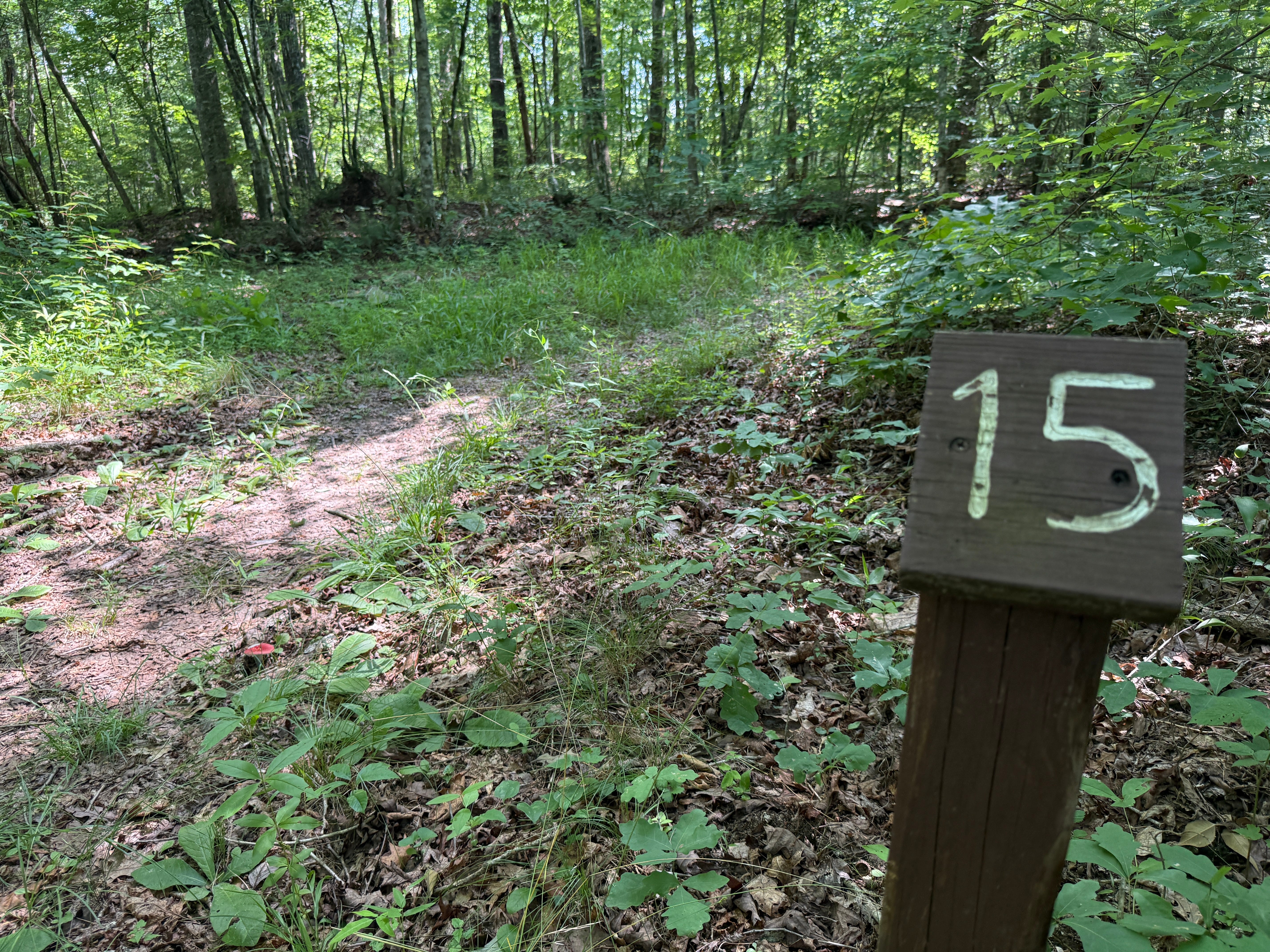
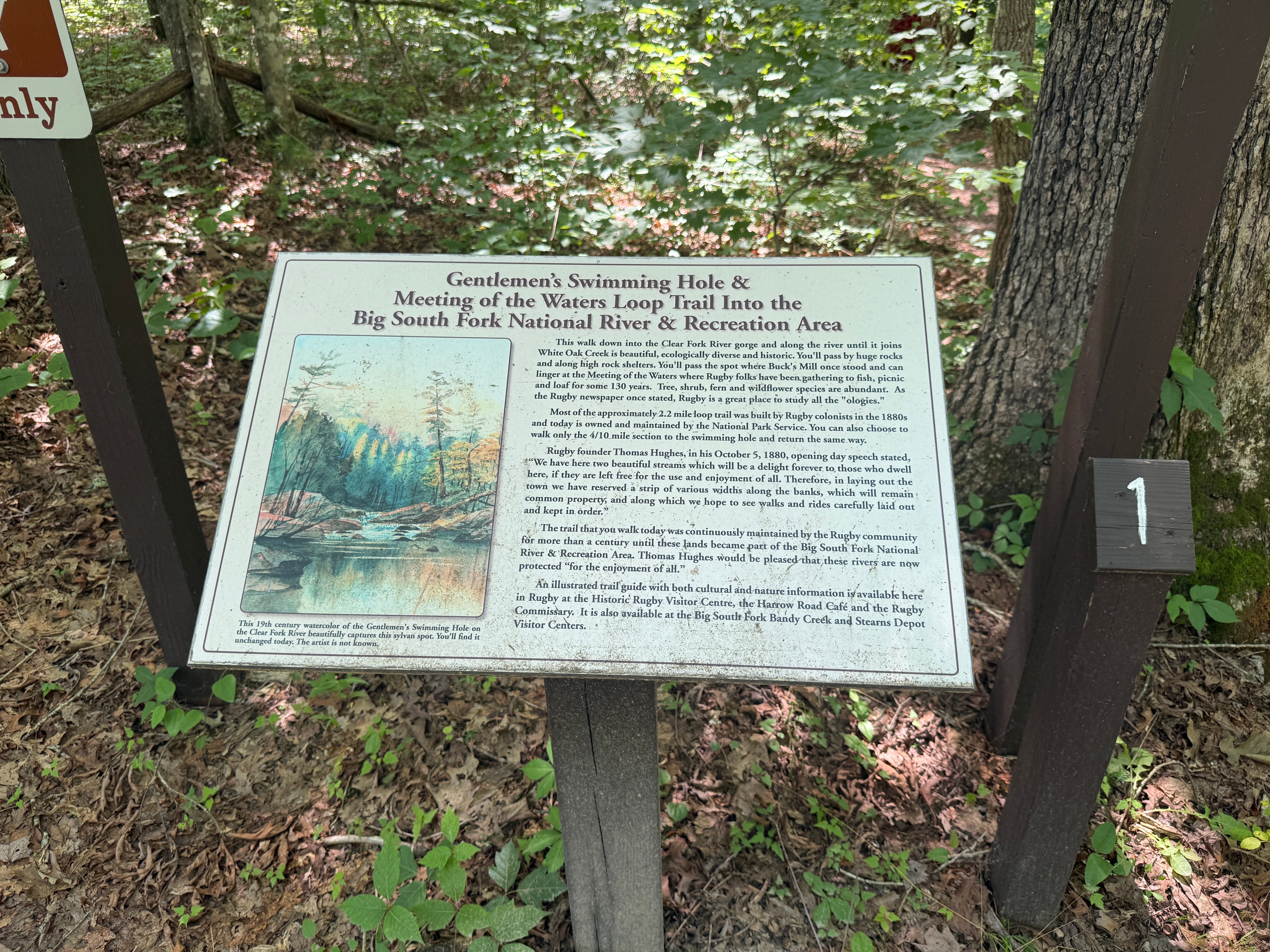
Mile 1.45: When you reach Sign Post 15, you’ve reached the top of the hill. Incidentally, these sign posts represent points of interest along the trail. You can pick up a trail guide that corresponds with them by visiting the Rugby Visitor Center before your hike. Here, at #15, the trail intersects with an old road trace along the Cumberland Plateau. It’ll follow this old roadbed back to Laurel Dale Cemetery, and the hike is mostly level from here on out.
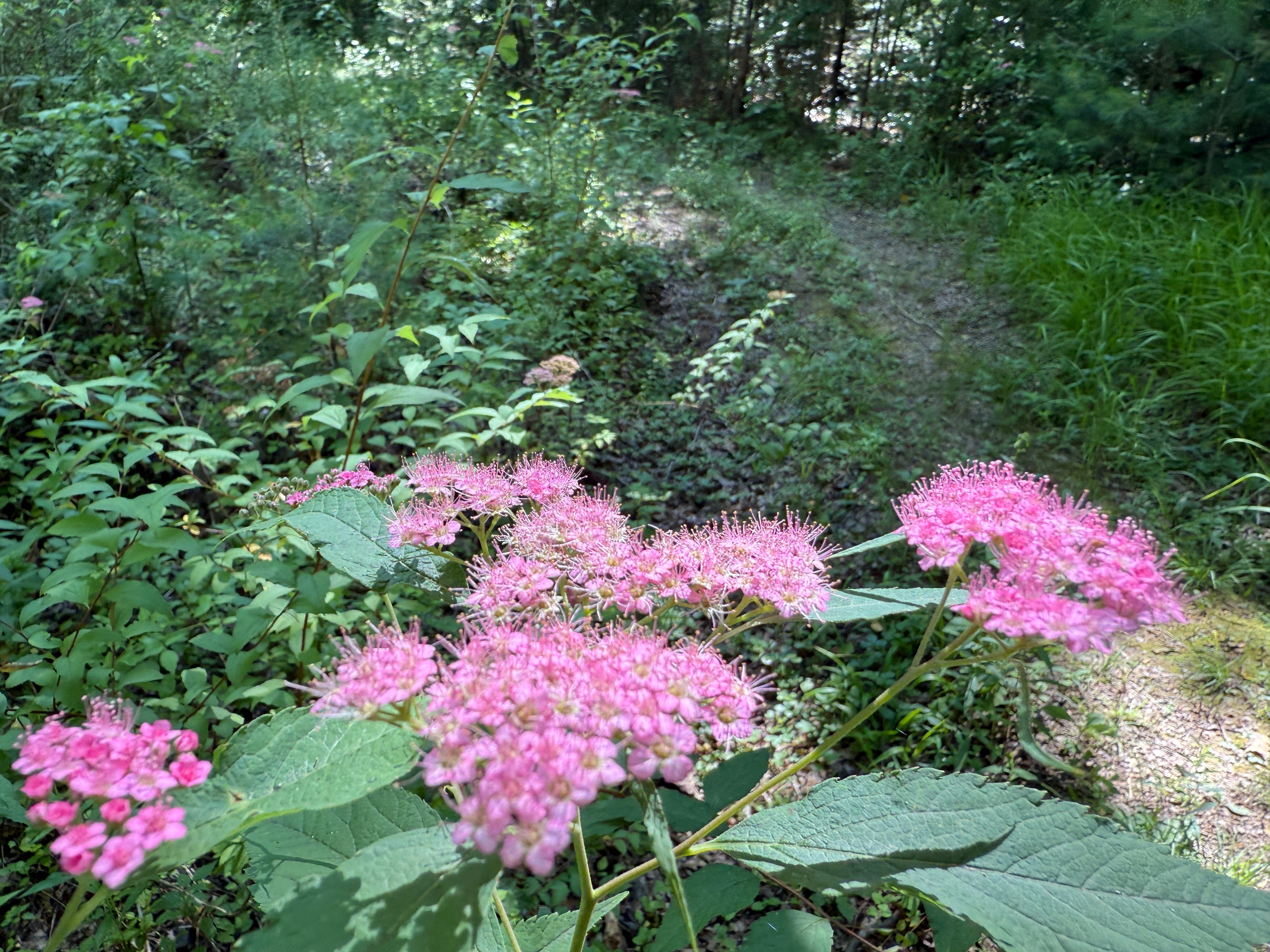
Mile 1.88: Purple spiraea flowers grow along the trail.
Mile 2.08: The trail reaches a gate that once blocked vehicular access down this ridge. At this point, it intersects with one of Rugby’s trails and begins another uphill climb.
Mile 2.18: The trail arrives back at the trailhead.
Scavenger Hunt: This week’s virtual scavenger hunt is a little different. We’re searching for the oldest identifiable grave (that is, a headstone with a legible date) in the Laurel Dale Cemetery. The old cemetery is worthy of exploration because of the history associated with it. It was the community cemetery for the Rugby settlement, and many of the village’s original residents are buried here. Finding the oldest identifiable grave might seem like a daunting task because there are more than 400 burials in this cemetery. But it’s pretty easy to identify the older parts of the cemetery by the condition of the stones. And here’s a hint: the grave we’re looking for was one of Rugby’s original settlers, who died during an outbreak of typhoid fever that hit the village hard in 1881. Take a picture of this headstone and post it on social media with the hashtag #SpringHikingChallenge to be entered into this week’s random drawing. (We’re running behind on announcing the prize winners … look for that in the coming days.)
Make It Better: Rather than another hike, try this: on your way back from Rugby, stop at Thelma Frogge’s Grocery on S.R. 52 just across the Scott/Morgan county line. Thelma opened this tiny general store in 1956 and has operated it continuously ever since. Yes, it’s still open! Yes, you can still get a bottle of pop here! It’s truly one of the last of its kind … and you’ll still find Thelma inside, running the store.
Be Careful For: There are no notable hazards on this hike.
Please Remember: Hikers are encouraged to obey the “Leave No Trace” ethic. “Leave only footprints, take only memories.” Please do not litter! Also, remember that while all trails in the Big South Fork are dog-friendly, all dogs must be leashed and kept within six feet.
Document Your Hike: Record your participation on this week’s hike by taking a photo of you and your group and tagging it with the #SpringHikingChallenge hashtag on social media (make sure the post privacy is set to public!) or emailing newsroom@ihoneida.com.
Hike #1: Sunset Overlook
Hike #2: Angel Falls Rapid
Hike #3: Yahoo Falls
Hike #4: O&W Bridge
Hike #5: Northrup Falls
Hike #6: Burnt Mill
Hike #7: Buzzard Rock
Hike #8: Cracks in the Rock
Hike #9: Angel Falls Overlook
Hike #10: Kellogg’s Crack
Hike #11: Slave Falls
Hike #12: John Litton Farm